
What is recorded here
Cloghore Ridge Enclosure is a levelled circular scar forty metres across the narrow Donegal ridge, facing the River Erne and a burial ground beyond. The damp grassland hides its edges, but the slight raised perimeter still marks where people stood above the valley mist.
In pasture, located on the narrow top of an E−W ridge providing good views over the surrounding undulating grassland, which tends to be damp and poorly drained. The ridge has steep N and S slopes, and more gradual slopes to E and W. At E the slope drops to a strip of lowlying ground bordering the banks of the River Erne. There is a burial ground (DG107-073001-) 470m to NNE on the banks of the river.
This enclosure has been levelled, but the outline of a slightly raised circular area (c. 20m E−W; c. 17m N−S) defined on its perimeter by a slight scarp/undulation (H 0.4) can still be discerned. The enclosure spans almost the full N−S width of the ridge top.
Notified to NMS by Jean-Charles Caillère
Attached image:
DG107-129----_01.JPG Enclosure viewed from E
Compiled by: Jane O’Shaughnessy
Date of upload: 4 November 2021
The monument record does not grant public access. Check the route and ask the landowner before entering private land.
- What survives
- Recorded monument
Places near here
 Tetunny WellHoly well · 577 yd
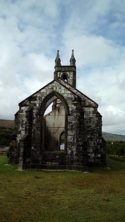 Old ChurchRuins · 629 yd
 Tetunny Church (Site of)Church · 652 yd
 Cliff Generating Stationhydroelectric power station · 706 yd
 Belleek Pottery MuseumMuseum · 846 yd
 Belleek PotteryHeritage attraction · 919 yd
 Castle in ruinsCastle, unclassified · 2.1 mi
 PLANTATION CASTLE: MAGHERAMEENAGH CASTLE in MagherameenaghPLANTATION CASTLE: MAGHERAMEENAGH CASTLE · 2.8 mi
 InishkeenIslet · 3.8 mi
 GorminishIslet · 3.8 mi
 St Anne's Church GraveyardGraveyard · 3.9 mi
 HawthornHawthorn · 4.1 mi
Other information
Photo: Credit not shown in the picture search · Rights wording not checked; contact us if this picture should be removed