What is recorded here
Clogher Castle is a ruined rectangular structure built from roughly coursed limestone rubble, with walls once 1.3m thick now reduced to fragments barely 1.7m high. It sits at the north end of a ridge, overlooking Graigone Castle and facing Clogher Church, where the north wall still marks a field boundary while the east wall has vanished entirely. The castle may have controlled a narrow ridge pathway, with possible bawns extending north and south to trap movement between the cliff and the church. What is left is a low stone rectangle, half buried in grass, holding the shape of a building that no longer needs explanation.
At the N end of a N-S ridge with good views in all directions, with Clogher Church and graveyard (TS046-039001; TS046-039003-) 250m to the S and overlooking Graigone Castle (TS046-036----) 300m to the WNW. All that survives are the lower wall courses of a rectangular castle (ext. dims. approx. 10m N-S; 18m E-W; wall T 1.3m) surviving to a maximum height of 1.7m and constructed with roughly coursed limestone rubble. The N wall of the castle is the best preserved being incorporated into a field boundary, while the W and S walls are grass covered with the E wall being totally destroyed. There are the possible remains of a bawn (TS046-038001-) to the N, facing onto a steep cliff face, and a possible retaining wall on the W face of a ridge, to the S of the castle. The latter may be the remains of a second bawn which may have been located to the S of the castle enclosing the top of the ridge. A possible roadway (TS046-039004-) in the field to the S appears to run between Clogher Church and Clogher Castle.
Compiled by: Jean Farrelly
Date of upload: 26 August 2011
Clogher Castle was built in the 17th century by the MacMahon family, an influential Gaelic-Irish clan in the area. It is remembered for its strategic position overlooking the surrounding landscape and its historical association with local resistance during periods of English expansion in Ulster.
The monument record does not grant public access. Check the route and ask the landowner before entering private land.
- What survives
- Recorded monument
Places near here
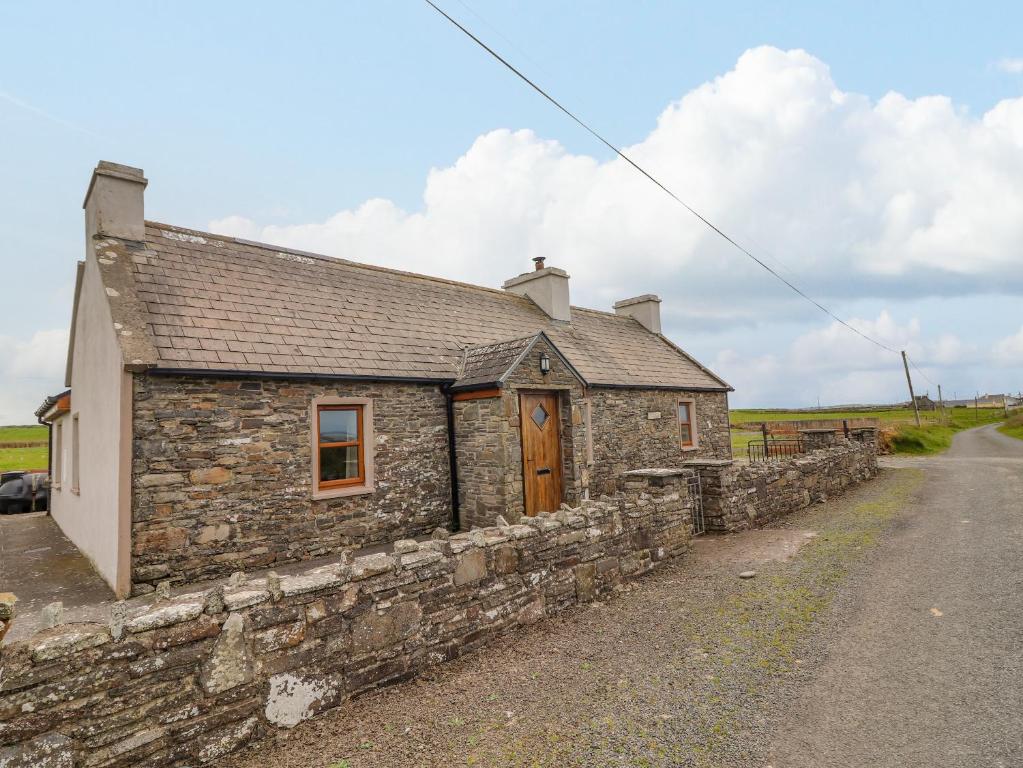 Bawn in ClogherBawn · 20 yd
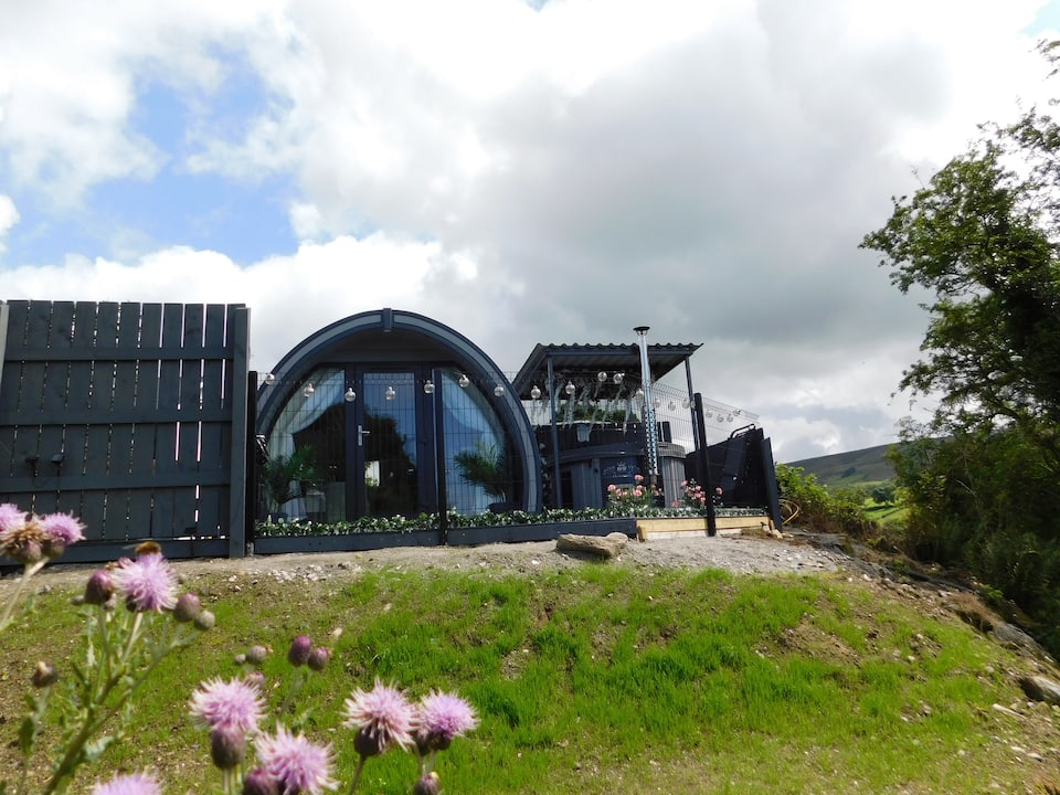 Enclosure in ClogherEnclosure · 53 yd
 Clogher CastleCastle · 86 yd
 Druids AltarMegalithic structure · 117 yd
 RoadRoad, road/trackway · 233 yd
 Clogher Church (in ruins)Church · 276 yd
 Clonoulty HillMountain / peak · 1.2 mi
 Drum WoodWood · 2.1 mi
 Cormackstown Heritage CentreMuseum · 4.2 mi
 Killough Hill (site of)Mountain / peak · 4.4 mi
 Wych ElmWych Elm · 5.2 mi
 Graigone Castle (in ruins)House, fortified house · 331 yd