What is recorded here
In rough grazing on the lower NE-facing slopes of Coomreagh Mountain. The remains of a roughly circular hut site (3.4m N-S; 2.9m E-W) defined by a partially collapsed, drystone wall (T 1.1m; int. H 1.2m; ext. H 1.1m). Internally, the lower courses consist of mainly large boulder-type stones and the remaining upper courses consist of smaller stones, parts of which show signs of rebuilding. Much of the external portion of the wall has collapsed outwards and is strewn along the perimeter. At E, the damaged entrance (Wth 0.75m) is defined by a slab (L 1.1m) on its N side and it faces another hut site (KE071-066001-) c. 2m to the SSW.
The above description is derived from the published 'Archaeological Inventory of County Kerry. Volume I: South-West Kerry' (Dublin: Stationery Office, 2009). In certain instances the entries have been revised and updated in the light of recent research.
Date of upload: 30 May 2011
The monument record does not grant public access. Check the route and ask the landowner before entering private land.
- What survives
- Recorded monument
Places near here
 CloghaunsHut site · 5 yd
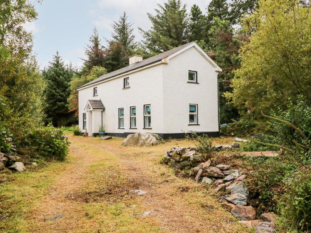 Enclosure in Kealduff UpperEnclosure · 533 yd
 Teeromoyle ToothMountain / peak · 1.5 mi
 MullaghnarakillMountain / peak · 1.6 mi
 Mountain StageViewpoint · 2.1 mi
 FeaklecallyHeadland · 2.9 mi
 Gleensk Viaductbridge · 3.0 mi
 O'Connell's Bridgebridge · 3.0 mi
 Sheep Dog TrainingHeritage attraction · 3.4 mi
 Soft Tree-fernSoft Tree-fern · 4.1 mi
 Chilean wine palmChilean wine palm · 4.1 mi
 Rossbeigh BeachBeach / strand · 4.1 mi