What is recorded here
Cloghaleagaun stood in Limerick pasture until removal around 1998, now absent from the visible ground. Its name preserves a large standing stone beside a rural road, while the empty patch invites wonder about the people who walked past it, pointed at it, or vanished when it disappeared.
In pasture, 370m S of Ahatrishnaun Stream, 125m E of a road annotated 'Bohereennaderrymore' on OSi historic maps. Site of standing stone annotated 'Cloghaleagaun' on OSi maps which was removed c. 1998 (SMR File; Grogan 1989, Vol. 2, 267). No surface remains visible on Google Earth orthoimages. Described in the Ordnance Survey Field Name Books as 'Cloch a Liagáin, the standing or pillar stone. The name of a large stone or rock' (OSNB Parish of St Peter & Paul, 1579).
See attached Google Earth orthoimage.
Compiled by: Martin Fitzpatrick
Date of upload: 12 August 2021
The monument record does not grant public access. Check the route and ask the landowner before entering private land.
- What survives
- Recorded monument
Places near here
 IndicatedKiln, lime · 418 yd
 ToberreendoneyHoly well · 1102 yd
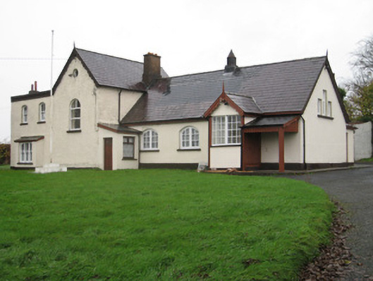 Coote Hallschool · 1117 yd
 Kilmallock AbbeyHeritage attraction · 1222 yd
 Round TowerRound tower · 1347 yd
 Kings CastleCastle, tower house · 1414 yd
 King John's CastleCastle · 1414 yd
 Site of Millmount Castle, Castle FieldCastle, unclassified · 1694 yd
 St Bridget's WellSpring · 2.3 mi
 Lady's WellSpring · 4.0 mi
 Ballyhoura tourist informationVisitor information · 5.3 mi
 KnockainyMountain / peak · 6.0 mi