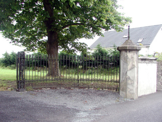
What is recorded here
Gateway, c.1865, comprising pair of cast-iron open work piers with sections of cast-iron curved flanking railings having spear-headed finials, unpainted rendered polygonal terminating piers with cut-granite capping having cast-iron finials (possibly originally supporting gas lamp holders), and sections of random rubble stone boundary wall to north and to south with rubble stone vertical coping, and shallow segmental-headed pedestrian opening to north having red brick block-and-start surround, and wrought iron gate. Road fronted at entrance to grounds of Clodiagh (House), with boundary wall forming perimeter to grounds.
An attractive gateway incorporating early-surviving mass-produced cast-iron work that enhances the artistic design quality of the composition. The rubble stone boundary wall, constructed in a traditional manner, assimilates well into the surrounding landscape, and forms an attractive feature in the streetscape of Lower Queen’s Street.
This does not grant access. Most recorded buildings are privately owned; view them only from public ground unless the owner allows entry.
Places near here
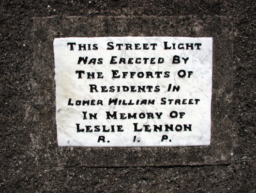 monumentmonument · 113 yd
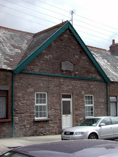 almshousealmshouse · 139 yd
 Portlaw Heritage CentreMuseum · 271 yd
 CastleCastle, unclassified · 1.0 mi
 Portlaw WoodForest · 1.1 mi
 Rockets Castle (in ruins)Castle, tower house · 1.2 mi
 Grave YardGraveyard · 1.4 mi
 Beallough WoodForest · 1.4 mi
 Donnell's HillMountain / peak · 1.5 mi
 Pollrone House (site of)Archaeological place · 1.5 mi
 Tower HillMountain / peak · 2.7 mi
 Waterford & Suir Valley RailwayHeritage attraction · 4.0 mi
Other information
Photo: National Inventory of Architectural Heritage · Website use allowed for educational or private purposes with source credit