What is recorded here
Clochan in Kimego West is a drystone hut where local tradition claims a corbelled stone roof once shaded a lamb shelter. Excavation revealed two opposing entrances, a central hearth-pit and hundreds of stake-holes, proving the chamber served human life before collapse buried it. The discovered bronze scraps, iron slag and quern fragments suggest craftsmanship and daily labour within its walls.
National Monument No. 1227. The central hut is of drystone construction. Prior to excavation and conservation its interior was filled with rubble and its wall was only preserved above ground level at W, where it stood up to 1.7m high. Here it displayed a pronounced inward corbel and a number of slabs projected from its external face. Traces of an entrance were visible at SSE. Chatterton recorded a local tradition that the roof of the hut was of corbelled stone, and noted that a lamb shelter had been constructed in its interior (1839, 280). Excavation revealed that the hut was 6.7m in internal diameter and featured two opposing entrances, each 1.1m wide. A third, blocked, entrance was located at N. Removal of the collapse in the interior of the hut revealed an occupation layer over the floor, a large central hearth-pit and several hundred stake-holes. There was little evidence for activity on the site prior to the construction of the hut. Artefacts recovered included quern fragments, scraps of sheet bronze, iron slag and tuyère fragments. Excavation between the caher entrance and the hut revealed a paving of stone flags flanked with low upright slabs.
Westropp and Henry recorded a large perforated slab lying outside the hut at SE (1912, 295; 1957, 63). This is no longer visible and was interpreted by Henry as a support slab for a timber door frame. Another slab lying in the interior of the caher, 2.45m x .7m x .15m thick, has two large circular depressions on its present upper surface.
The above description is derived from A. O'Sullivan and J. Sheehan (compilers), 'The Iveragh peninsula: an archaeological survey of South Kerry'. Cork University Press (1996), no. 603. In certain instances the entries have been revised and updated in the light of recent research.
Date of upload: 29 July 2013
The monument record does not grant public access. Check the route and ask the landowner before entering private land.
- What survives
- Recorded monument
Places near here
 CahergalFairy fort / stone ringfort · 1 yd
 Cahergal Ring FortArchaeological place · 8 yd
 KilnKiln, corn-drying · 731 yd
 Ballycarbery CastleRuins · 856 yd
 Ballycarbery Castle (in ruins)Castle, hall-house · 861 yd
 CastleCastle, unclassified · 861 yd
 Foughil IslandIslet · 1462 yd
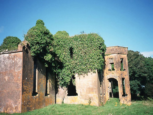 Castlequincountry house · 1520 yd
 White Strand BeachBeach / strand · 1.2 mi
 Killelan MountainMountain / peak · 2.1 mi
 SlievaghMountain / peak · 2.1 mi
 Beginish IslandIsland · 2.3 mi