What is recorded here
In rough hill pasture and blanket bog, overlooking Friar's Glen. The remains of a D-shaped clochan (2m E-W) defined by a drystone wall (T 0.7m; H 1.6m) with a straight W side (L 1.6m N-S) formed by a rock outcrop. There is an entrance (Wth 0.7m) at N. A corbelled roof (H 1.6m) covers the S portion of the clochan. A hut site (KE074-031001-) lies immediately to the NE.
Compiled by: Elizabeth Byrne, Ursula Egan and Sheila Ronan, Archaeological Survey Unit, University College, Cork.
Date of upload: 31 January 2011
The monument record does not grant public access. Check the route and ask the landowner before entering private land.
- What survives
- Recorded monument
Places near here
 IndicatedKiln, lime · 823 yd
 English hollyEnglish holly · 1702 yd
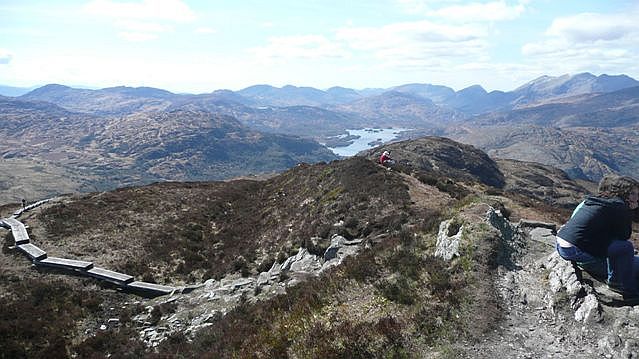 Torc Mountain W TopMountain / peak · 1747 yd
 Torc MountainMountain / peak · 1.0 mi
 Hut site in CoresHut site · 1.3 mi
 Church ruinsRuins · 1.5 mi
 Muckross Lake WalkWalking route · 1.6 mi
 Torc WaterfallWaterfall · 1.6 mi
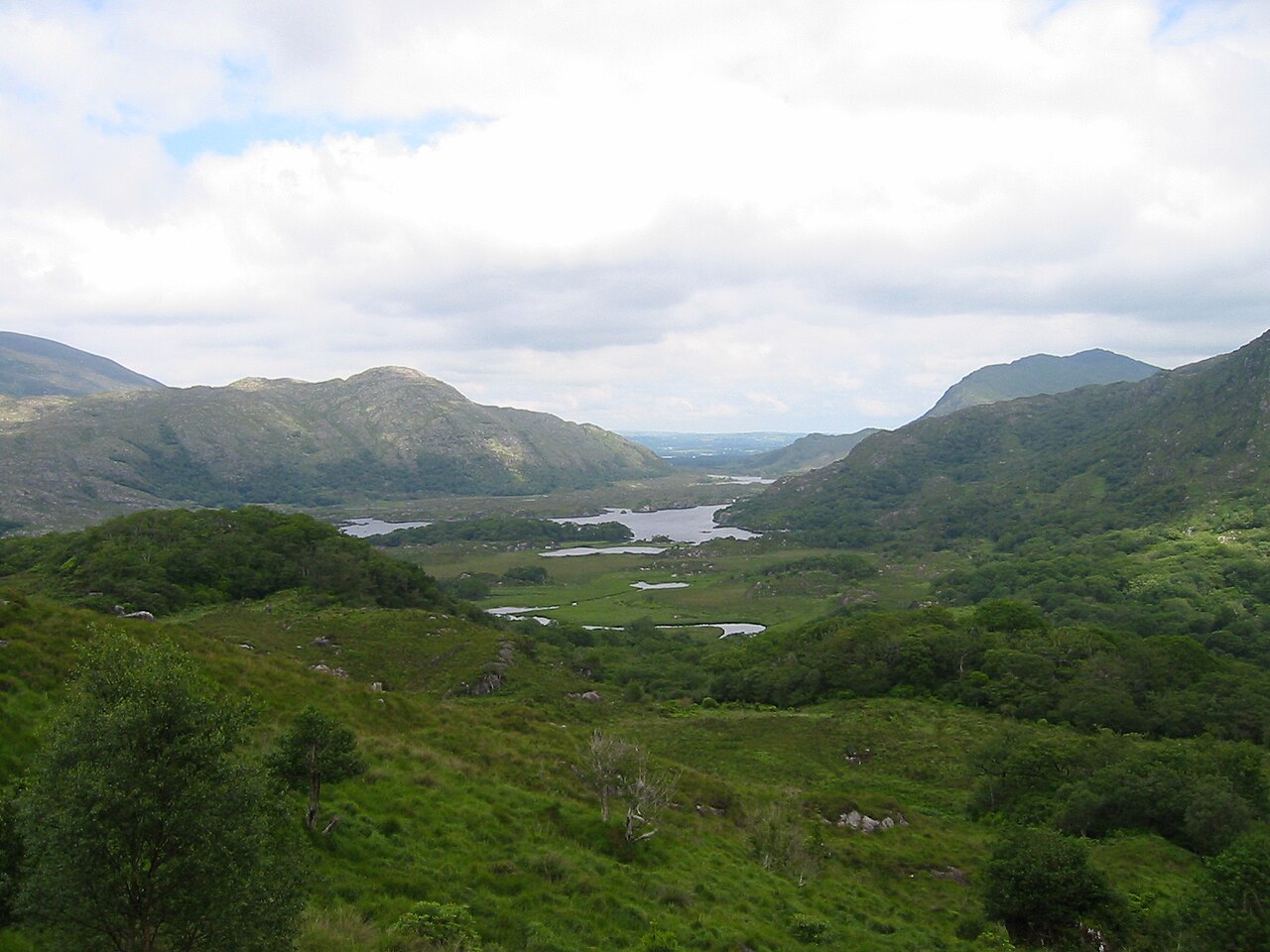 Killarney National ParkHeritage attraction · 1.6 mi
 Scots PineScots Pine · 1.6 mi
 Newfoundland BayBay · 1.9 mi
 Bog BayBay · 2.0 mi