What is recorded here
An irregular spread of grass-grown stones located on a SSE facing slope overlooking Dunquin. It measures 16m N-S x 10.5m E-W x .5m in height. It is not clear what this represents but it may be the remains of 2 or 3 conjoined clochauns.
The above description is derived from J. Cuppage, ‘Corca Dhuibhne. Dingle Peninsula archaeological survey. Ballyferriter. Oidhreacht Chorca Dhuibhne’ (1986), no. 1561. In certain instances the entries have been revised and updated in the light of recent research.
Date of upload: 5 August 2013
The monument record does not grant public access. Check the route and ask the landowner before entering private land.
- What survives
- Recorded monument
Places near here
 Kilgobnet Penitential StationPenitential station · 456 yd
 Enclosure in Ceathrú An FheirtéaraighEnclosure · 503 yd
 Stone CrossCross · 553 yd
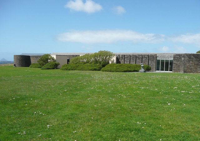 Ionad an Bhlascaoid MhóirMuseum · 564 yd
 Dunquin Church (in ruins)Church · 630 yd
 Mullach Charraige LéitheMountain / peak · 1289 yd
 Dún BinneHeadland · 1466 yd
 Ceann SrathaNamed rock · 1.1 mi
 Tráigh ChloichirBeach / strand · 1.4 mi
 Cruach MhárthainMountain / peak · 1.5 mi
 Traigh an ChomaBeach / strand · 1.8 mi
 Dunmore HeadViewpoint · 2.1 mi