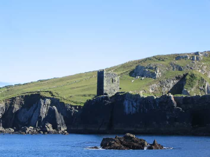
What is recorded here
Cliffort is a cliff-edge fort at the end of a gravel spur overlooking the west bank of the Bandon River in County Cork. Its oval interior spans thirty-point-seven metres east-west and twenty-three metres north-south, with the western half raised two-point-four metres above the eastern. A deep fosse and counterscarp bank close the south and east, while a sheer cliff face stops every approach from the northeast. The split level suggests people moved between heights rather than across a flat floor, perhaps watching the river or keeping the best light on the upper side.
At end of gravel spur overlooking W bank of Bandon River. Roughly oval area (30.7m E-W; 23m N-S) enclosed by deep fosse (D 3.7m) and counterscarp bank (H 0.6m) S->NE; by sheer cliff face NE->S. Interior split-level; W half 2.4m higher.
The above description is derived from the published 'Archaeological Inventory of County Cork. Volume 1: West Cork' (Dublin: Stationery Office, 1992). In certain instances the entries have been revised and updated in the light of recent research.
Date of upload/revision: 14 January 2009
The monument record does not grant public access. Check the route and ask the landowner before entering private land.
- What survives
- Recorded monument
Places near here
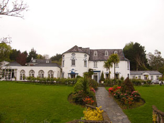 country housecountry house · 671 yd
 Kilpadder Burial Gd (Site of)Burial ground · 776 yd
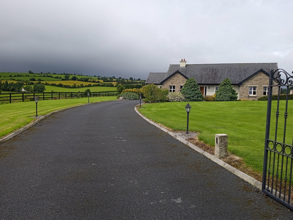 Fulacht FianFulacht fia · 1126 yd
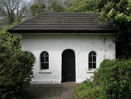 Shippool Housegate lodge · 1187 yd
 Dromkeen Wood Nature ReserveForest · 1.0 mi
 Dromkeen WoodWood · 1.1 mi
 Shippool CastleCastle · 1.1 mi
 Innishannon WoodsPicnic place · 1.1 mi
 Carrighnassig Castle (Site of)Castle, unclassified · 1.2 mi
 Marie LouiseWreck · 1.5 mi
 Carbury's WellSpring · 3.2 mi
 Bandon War MemorialMemorial · 3.7 mi
Other information
Photo: Credit not shown in the picture search · Rights wording not checked; contact us if this picture should be removed