
What is recorded here
Cliff-edge fort in Ballinlyna Lower is a lost D-shaped bank on a pasture cliff, mapped in 1840 and 1897 but no longer visible on the ground. It faced a cutting watercourse, with gaps at NW and NE, as if the edge itself completed the wall. A standing stone still waits beside the townland boundary, marking the place where the fort disappeared under grass, rain and time.
In pasture, immediately N of townland boundary with Clovers. A standing stone (LI056-015002-) lies to immediate W. Depicted on the 1840 ed. OSi 6-inch map as a raised circular-shaped area defined by a scarp. Shown on the 1897 ed. OSi 25-inch map as a D-shaped area (dims. c. 23m N-S; 31m E-W) enclosed by a bank from SW-W-N-E-SE, with gaps at NW and NE, defined at S by a scarp of watercourse running NE-SW. In 1931 the monument was described as; ‘two moats or lisses with Man-made underground passages’ (O’Shaughnessy and Carroll 1931, 69-70). No surface remains of levelled monument on Digital Globe orthoimage taken between 2011-2013. Faint trace of D-shaped cropmark on Google Earth orthoimage dated 28/06/2018.
See attached Google Earth orthoimage
Compiled by: Fiona Rooney
Date of upload: 24 November 2021
The monument record does not grant public access. Check the route and ask the landowner before entering private land.
- What survives
- Recorded monument
Places near here
 Man-made underground passageMan-made underground passage · 277 yd
 Mound in Ballyroe UpperMound · 850 yd
 Tuck MillWater mill, unclassified · 1277 yd
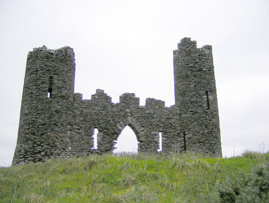 Castle Oliverfolly · 1615 yd
 Treada Na Ríogh (The Moat), hachuredCastle, motte · 1.0 mi
 Ballyhoura tourist informationVisitor information · 1.1 mi
 Castle (in ruins)Castle, tower house · 1.2 mi
 Gooseberry HillMountain / peak · 1.2 mi
 Keale MountainMountain / peak · 1.3 mi
 Palatine's RockNamed rock · 1.8 mi
 Ballyhoura WayWalking route · 1.9 mi
 ToberpatrickSpring · 2.2 mi
Other information
Photo: Credit not shown in the picture search · Rights wording not checked; contact us if this picture should be removed