What is recorded here
Misidentification is common in quiet places. What first appeared as a blocked underground passage is now known as a cistern, a vessel for water rather than a chamber for passage. The correction does not diminish the build; it sharpen its purpose.
Cistern structure described as a Man-made underground passage in 1996 as follows; 'This Man-made underground passage-type structure is located about 18m W of Clochaun A [KE104A001032-]. Its lintelled opening, 0.6m high and 0.38m wide, faces SE and gives access to a passage which extends to W for 3.1m where it is blocked by collapse. The passages averages 0.9m wide and is 0.55m in maximum height. Its N side is formed of bedrock while that at S is of low drystone masonry. The accessible portion is roofed with twelve lintels which slope strongly down to S due to the partial collapse of the side-wall here' (O'Sullivan and Sheehan 1996, 286, no. 948 (19)). During restoration work this structure was found to be a cistern and not a Man-made underground passage (pers. comm. Edward Bourke).
See attached LiDAR image of monastery with cistern labelled No. 6, taken from Bourke, Hayden and Lynch 2011, 7.
Compiled by: Elizabeth Byrne, Ursula Egan and Sheila Ronan, Archaeological Survey Unit, University College, Cork.
Revised by: Caimin O'Brien
Date of revised upload: 9 March 2022
The monument record does not grant public access. Check the route and ask the landowner before entering private land.
- What survives
- Recorded monument
Places near here
 Skellig MonasteryHeritage attraction · 16 yd
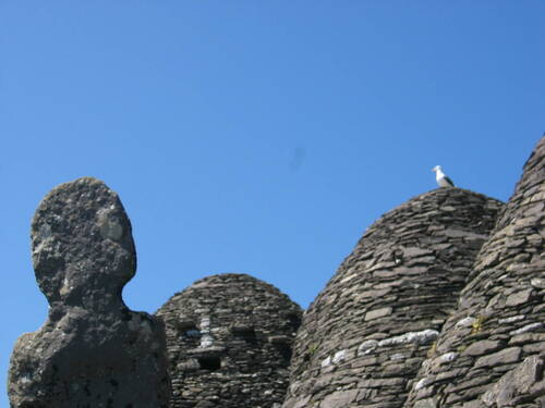 Church (in Ruins)Church · 24 yd
 North PeakMountain / peak · 37 yd
 Cross in Sceilg MhichílCross · 131 yd
 Sceilig MhichílIslet · 135 yd
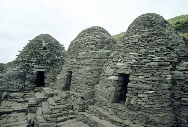 CrossCross · 182 yd
 Church in Sceilg MhichílChurch · 223 yd
 Sceilg MhíchílMountain / peak · 247 yd
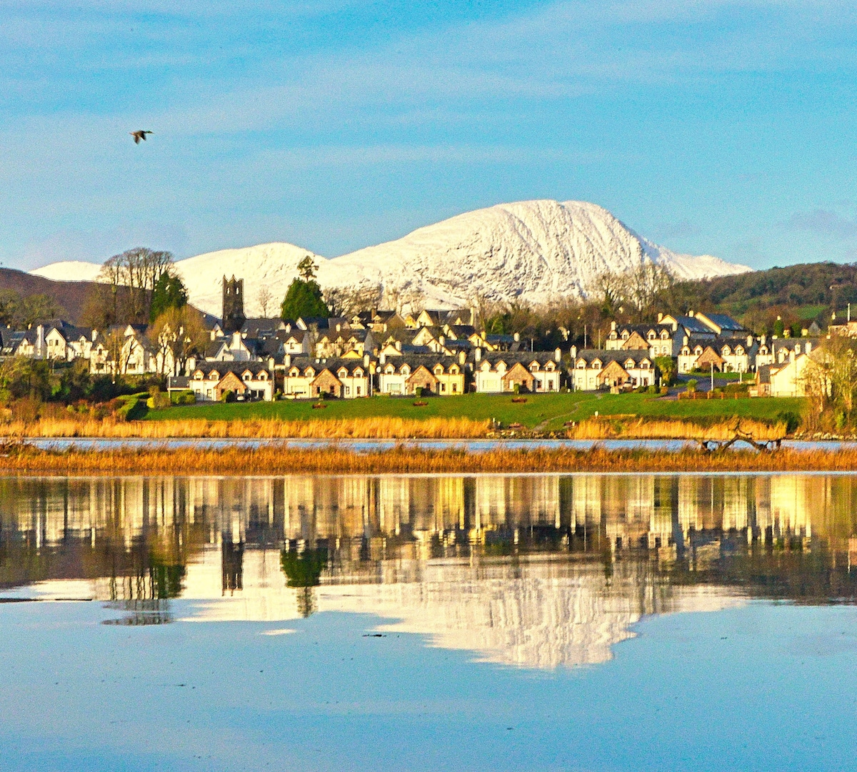 Pointe na bhFaoileannHeadland · 392 yd
 Sceilig BheagIslet · 1.5 mi
 LéimeHeadland · 6.8 mi
 Tráigh na SplinceBeach / strand · 8.6 mi