What is recorded here
Situated on a slight N-facing slope. Archaeological centre-line testing (04E0584) by N. Fairburn at Testing Area 11 of Contract 3 in advance of the M3 motorway identified burnt mound material (excavations.ie 2004:1158) at two places that were designated Ardbraccan 1A and 1B and were fully resolved (E003115) by M. Mossop (2008) over three weeks in August 2006 (excavations.ie 2006:1486). In Area 1A (dims 40m E-W; 37m N-) two fulachta fia and a large cistern or well were recorded.
The cistern was a large oval pit (dims 8.5m E-W; 4.8m N-S; max. D 1.76m) accessed by steps from the W and had two sumps, at the centre (diam. 2.5m) and at the extreme E edge. The central sump had a collection of cattle and sheep bones at the bottom as well as unburnt seeds sealed by a dark grey clay. A sample of charred fruit wood from the sealing layer provided a C14 date of 1193-922 cal. BC (BETA 247112). The E sump (dims 3.2m x 2.8m; D 1.68m) was flat-bottomed and filled with an organic brown-grey silty clay with sizable pieces of roundwood and organic matter beneath layers with burnt mound material. (Mossop and Ruddle 2009, 2-5)
See the attached plan of the cistern from Mossop and Ruddle (2009, fig. 8)
Compiled by: Michael Moore
Date of upload: 11 April, 2023
Fairburn, N. 2004 M3 Clonee-North of Kells. Contract 3 – Navan Bypass. Report on Archaeological Assessment at Testing Area 11, Ardbraccan, County Meath. Licence: 04E0584. Unpublished report, Archaeological Consultancy Services
Mossop, M. and E. Ruddle 2009 M3 Clonee-North of Kells. Contract 3 – Navan Bypass. Report on the Archaeological Excavation of Ardbraccan 1, Co. Meath. Licence: E003115. Final Unpublished report, Archaeological Consultancy Services 70.94m OD ITM true B (683032, 766605)
The monument record does not grant public access. Check the route and ask the landowner before entering private land.
- What survives
- Recorded monument
Places near here
 Field boundary in ArdbraccanField boundary · 197 yd
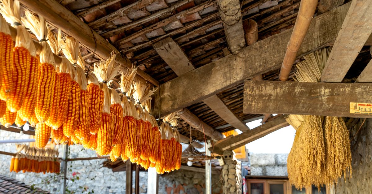 KilnKiln, corn-drying · 387 yd
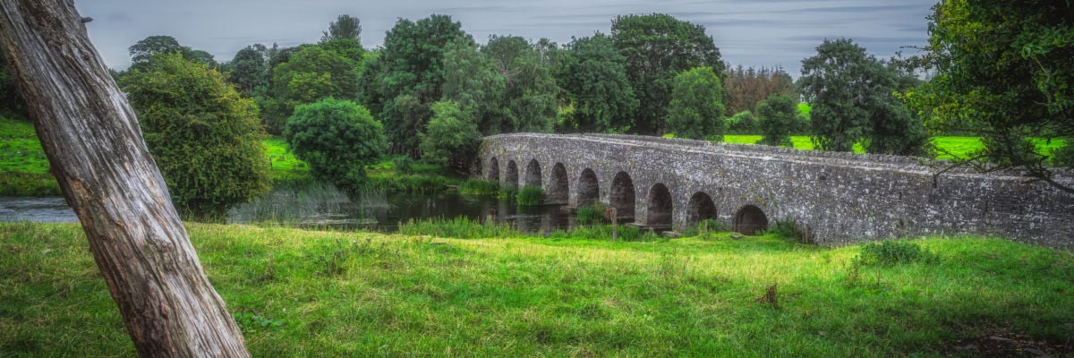 Hut site in ArdbraccanHut site · 428 yd
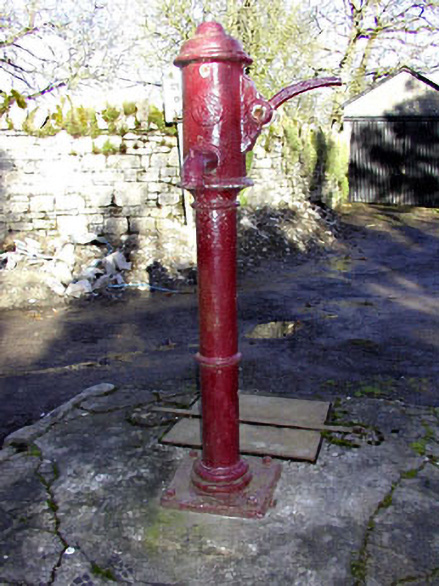 water pumpwater pump · 1584 yd
 DurhamstownMountain / peak · 1.1 mi
 BohermeenMountain / peak · 1.2 mi
 The New Line RoadMemorial · 1.5 mi
 Liscartan CastleCastle, tower house · 1.8 mi
 Rathaldron Ho.Castle, tower house · 1.9 mi
 Nangle CourtMemorial · 2.6 mi
 Wych ElmWych Elm · 3.8 mi
 Donaghmore Round TowerHeritage attraction · 3.9 mi