What is recorded here
Fakeeragh holds a rectangular cist on a ridge above Loch an Ime, its thin slab walls still forming a narrow chamber though the east endstone and capstone have vanished. A low irregular cairn once ringed the site, abutting a rock outcrop to the north, suggesting people shaped that ridge long before modern roads or markers arrived. The missing stones may have fallen, been taken or simply dissolved into the surrounding field, leaving behind a small empty box that still points toward the water.
On a ridge c. 70m NW of Loch an Ime. Rectangular cist, aligned E-W (L c. 1.65m, Wth c. 0.7m, H 0.28m). The side-walls are composed of thin slabs but E endstone and capstone are missing. Traces of a low irregular cairn (4m by 3.5m) are visible around it abutting against a rock outcrop immediately to N. (Gibbons 1988)
The above description is derived from the published 'Archaeological Inventory of County Galway Vol. I - West Galway'. Compiled by Paul Gosling (Dublin: Stationery Office, 1993).
Date of upload: 05 August 2010
Early Bronze Age cist tomb, likely associated with a small cairn. Such burials are significant for understanding early funerary practices and settlement patterns in upland areas.
The monument record does not grant public access. Check the route and ask the landowner before entering private land.
- What survives
- Recorded monument
Places near here
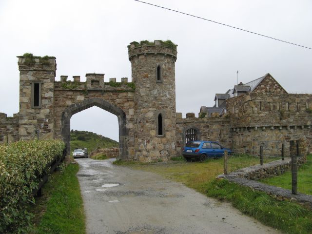 Clifden Castlegates/railings/walls · 684 yd
 Abbeyglen Castle HotelCastle · 905 yd
 Glenowen Ho.Country house · 905 yd
 Field boundary in Atlantic OceanField boundary · 1459 yd
 Lavelle Art GalleryGallery · 1491 yd
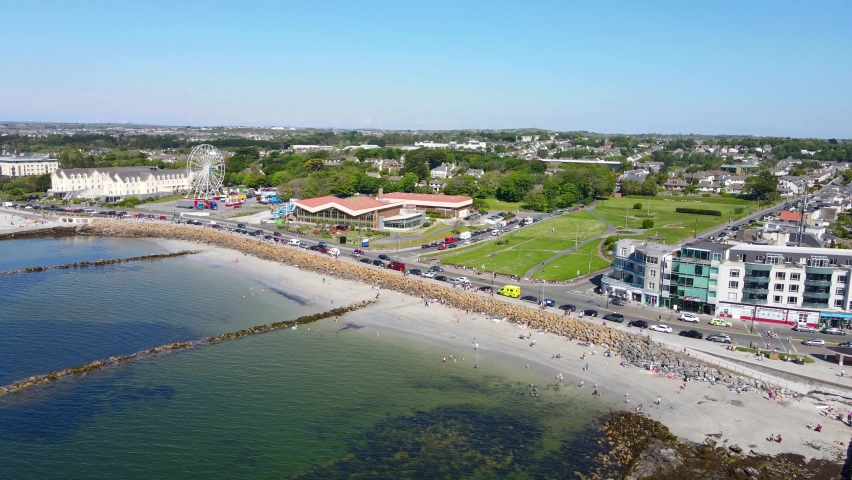 Structure in Atlantic OceanStructure · 1519 yd
 Station House MuseumMuseum · 1731 yd
 Boolard IslandIslet · 1.6 mi
 Alcock and Brown Atlantic CrossingMemorial · 1.9 mi
 Bawn in Doon (ballynahinch By.)Bawn · 2.6 mi
 Mannin BayBay · 3.2 mi
 Mannin Bay Coral StrandBeach / strand · 3.5 mi