What is recorded here
Clear water is not a claim about the hidden owner. Ring the owner, show the facts being used and ask whether the chamber should record the request, publish the result or wait for a decision.
In forestry nursery, c. 100m SE of ringfort (CO008-011---); one of three graves (CO008-01201-; CO008-01204-) found close together by workmen in 1978 (Doody 1986, Cork No. 5). Rectangular cist (0.45m x 0.19m; D 0.3m; long axis E-W) consisted of limestone sidestones supporting capstone, and paving slabs at base; cremated bone scattered on paving slabs. Cist reconstructed; displaced capstone lies adjacent. Standing stone (H 2.4m; 1.2m x 0.65m) (CO008-012002-), dislodged during forestry opertations, erected immediately N of reconstructed cists, in 1978; original location not known.
The above description is derived from the published 'Archaeological Inventory of County Cork. Volume 4: North Cork' (Dublin: Stationery Office, 2000). In certain instances the entries have been revised and updated in the light of recent research.
Date of upload/revision: 14 January 2009
A rectangular stone cist, likely Early Christian or medieval in date; part of a small cluster of burials, indicating a local burial tradition in a rural or forested setting.
The monument record does not grant public access. Check the route and ask the landowner before entering private land.
- What survives
- Recorded monument
Places near here
 Cist in BallynaboolaCist · 35 yd
 Fulacht fia in Garrane (fermoy By.)Fulacht fia · 367 yd
 Glanmore Househouse · 475 yd
 Ardskeagh MoatCastle, motte · 1165 yd
 BallinaboolaVisitor information · 1378 yd
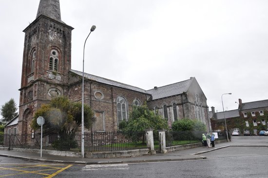 Ardskeagh Church (in Ruins)Church · 1574 yd
 Castle Harrison on Site of Castle (19*Castle, unclassified · 1.3 mi
 CarrigeenMountain / peak · 1.5 mi
 Caher HillMountain / peak · 2.2 mi
 Holy Cross CemeteryGraveyard · 2.9 mi
 ToberSpring · 3.0 mi
 Lady's WellSpring · 3.1 mi