What is recorded here
On a ledge above a scarp, adjacent to the E bank of the Unshin River. There are no visible remains of this short cist; a septic tank is now built on the site. It was discovered in 1970 during construction work (NMI). It consisted of a rectangular cist grave (L 0.71m; min. Wth 0.25m; max. Wth 0.33m; D 0.43m) containing the cremated bones of one human adult and the teeth of a child. Each of the four sides of the cist was formed by a thin limestone slab and the bottom by two large flat stones. The cist was covered by a single capstone and the space between the capstone and the sides was packed with small stones. Small stones also covered the capstone. The cremated remains were heaped in the centre of the floor with a thin spread to all sides. (Raftery 1973, 186; Waddell 1990, 131)
The above description is derived from the published 'Archaeological Inventory of County Sligo' compiled by Ursula Egan, Elizabeth Byrne, Mary Sleeman with Sheila Ronan and Connie Murphy (Dublin Stationery Office, 2005).
Date of upload: 18 January 2008
This remains an important historical record, but the official description says the monument is no longer visible or has been destroyed. The monument record does not grant public access. Check the route and ask the landowner before entering private land.
- What survives
- No visible remains or recorded as destroyed
Places near here
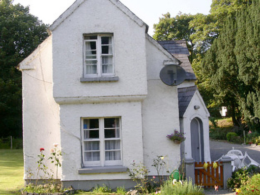 Markree Castlegate lodge · 129 yd
 European ashEuropean ash · 357 yd
 Indicated (1838).Fairy fort / earthen ringfort · 362 yd
 CastleCastle, motte and bailey · 527 yd
 RathgranFairy fort / earthen ringfort · 594 yd
 Field MapleField Maple · 1086 yd
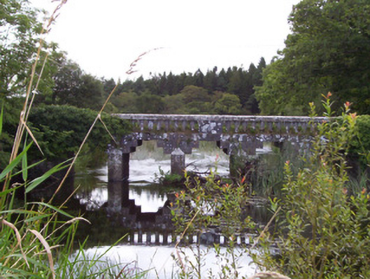 bridgebridge · 1368 yd
 Teeling MonumentMemorial · 1.2 mi
 Battle of Collooneybattle · 1.2 mi
 Castle (Site of)Castle, unclassified · 2.0 mi
 Giants GraveArchaeological place · 2.3 mi
 BunreecoillMountain / peak · 2.4 mi