What is recorded here
Fort Field may have held a cist burial, but the fort itself has vanished from the land. A cist is a small stone chamber for a dead person, yet no chamber remains visible in Dorsy or Roxborough. The field may still cover bones, timber marks or a buried ridge. Rain, ploughs and time may have erased the shape while the name preserved the loss.
The official Northern Ireland record identifies this as CIST? BURIAL: FORT FIELD (unlocated). Recorded period: UNCERTAIN; PREHISTORIC. The official map point was placed at the centre of the recorded archaeological site from the source map reference.
The monument record does not grant public access. Check the route and ask the landowner before entering private land.
- What survives
- Recorded monument
Places near here
 ENCLOSURE in FiniskinENCLOSURE · 1141 yd
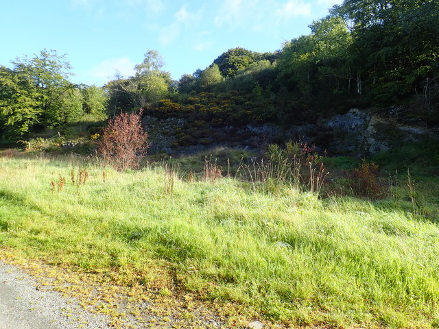 Aughanduff Upper MountainMountain / peak · 1627 yd
 Ummeracam BridgeBridge · 1.0 mi
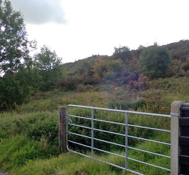 Aughanduff Lower MountainMountain / peak · 1.2 mi
 ENCLOSURE?: FORT FIELD in Dorsy OR RoxboroughENCLOSURE?: FORT FIELD · 1.3 mi
 Operation Conservationmilitary operation · 1.6 mi
 Creggan Freeduff Presbyterian ChurchChurch · 2.0 mi
 Irish Hunger StrikersMemorial · 2.6 mi
 Tullyvallen Orange Hall massacremassacre · 3.8 mi
 The Black Castle Chambered GraveArchaeological place · 3.9 mi
 MEDIEVAL & POST-MED. CHURCH & GRAVEYARD in Creggan Bane GlebeMEDIEVAL & POST-MED. CHURCH & GRAVEYARD · 3.9 mi
 Mass Rock Loop TrailWalking route · 4.1 mi