What is recorded here
Marked only on the 1926 ed. of the OS 6-inch map and recorded by Power (1907, 388) as the site of an early church. Situated in pasture on a W-facing slope, it is not visible at ground level. The site of St Martin's Well (WA016-035----) is c. 270m to the WNW.
The above description is derived from the published 'Archaeological Inventory of County Waterford' (Dublin: Stationery Office, 1999). In certain instances the entries have been revised and updated in the light of recent research.
Date of upload/revision: 23 December 2008
The monument record does not grant public access. Check the route and ask the landowner before entering private land.
- What survives
- Recorded monument
Places near here
 Site of CastleCastle, unclassified · 109 yd
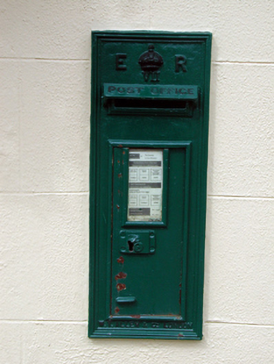 post boxpost box · 138 yd
 St. Martins WellHoly well · 300 yd
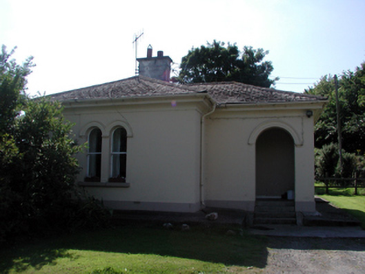 Whitfield Housegate lodge · 723 yd
 Embanked enclosureFairy fort / ringfort · 806 yd
 Sweet micheliaSweet michelia · 1.0 mi
 Monterey CypressMonterey Cypress · 1.1 mi
 Mount Congreve GardensHeritage attraction · 1.3 mi
 IndicatedBawn · 1.3 mi
 Waterford & Suir Valley RailwayHeritage attraction · 1.5 mi
 Ballyscanlon HillMountain / peak · 4.2 mi
 St. Martin's WellSpring · 5.1 mi