What is recorded here
Located in pasture at the bottom of a N-facing slope at the S edge of the floodplain of the W-E River Suir and c. 350m S of the river. A field is still known as the 'Church Field' (Power 1952, 396) and there is local knowledge regarding part of a wall which survived here until c. 1950. This is not visible at ground level. A circular sandstone font (diam. 0.84m; H 0.36m) with a flat-bottomed basin (diam. 0.6m; D 0.2m), originally from the site, is now at a house in Crehanagh South (WA003-105----), c. 2km to the WSW.
Power, Rev. P. (1952) The placenames of the Decies. (second ed.) Cork University Press.
The above description is derived from the published 'Archaeological Inventory of County Waterford' (Dublin: Stationery Office, 1999). In certain instances the entries have been revised and updated in the light of recent research.
Date of upload/revision: 21 July 2010
The monument record does not grant public access. Check the route and ask the landowner before entering private land.
- What survives
- Recorded monument
Places near here
 Font in TinhallaFont · 1 yd
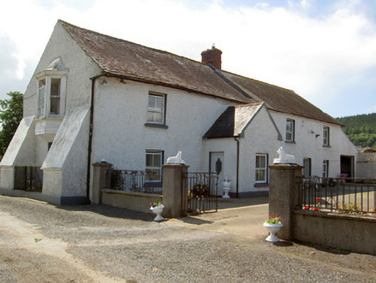 Tinhalla Househouse · 646 yd
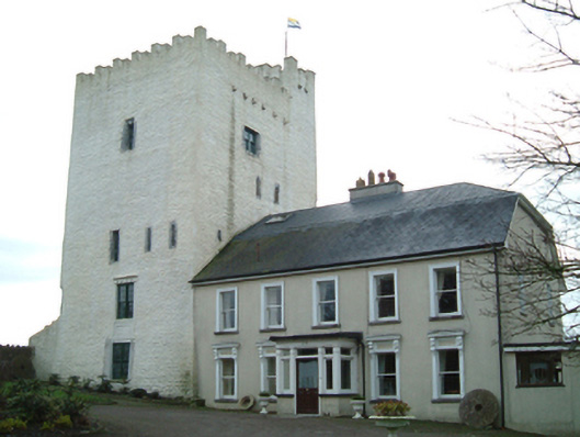 Tybroughney Castlefarm house · 1280 yd
 Tiberaghney CastleCastle, tower house · 1281 yd
 Tibberaghny Standing StoneArchaeological place · 1347 yd
 CarrigfenoaghMountain / peak · 1657 yd
 Tower HillMountain / peak · 1.6 mi
 Ponsonby Memorial TowerMonument · 1.6 mi
 CastleCastle, Anglo-Norman masonry castle · 1.6 mi
 Ormonde CastleHeritage attraction · 1.6 mi
 Tower Hill WoodWood · 2.3 mi
 Fiddown IslandIslet · 2.4 mi