What is recorded here
Situated on a low-lying plateau. Rectangular grass-covered area (dims. 37m NE-SW; 25m NW-SE) defined by scarps (max. H 0.5m), with a widely spread bank (Wth 10m; H 0.5m) at NE. It is widely believed locally to be a church site, but a bullaun stone (WA023-031001-) against a nearby field bank is now obscured by spoil.
The above description is derived from the published 'Archaeological Inventory of County Waterford' (Dublin: Stationery Office, 1999). In certain instances the entries have been revised and updated in the light of recent research.
Date of upload/revision: 21st April, 2011.
The monument record does not grant public access. Check the route and ask the landowner before entering private land.
- What survives
- Recorded monument
Places near here
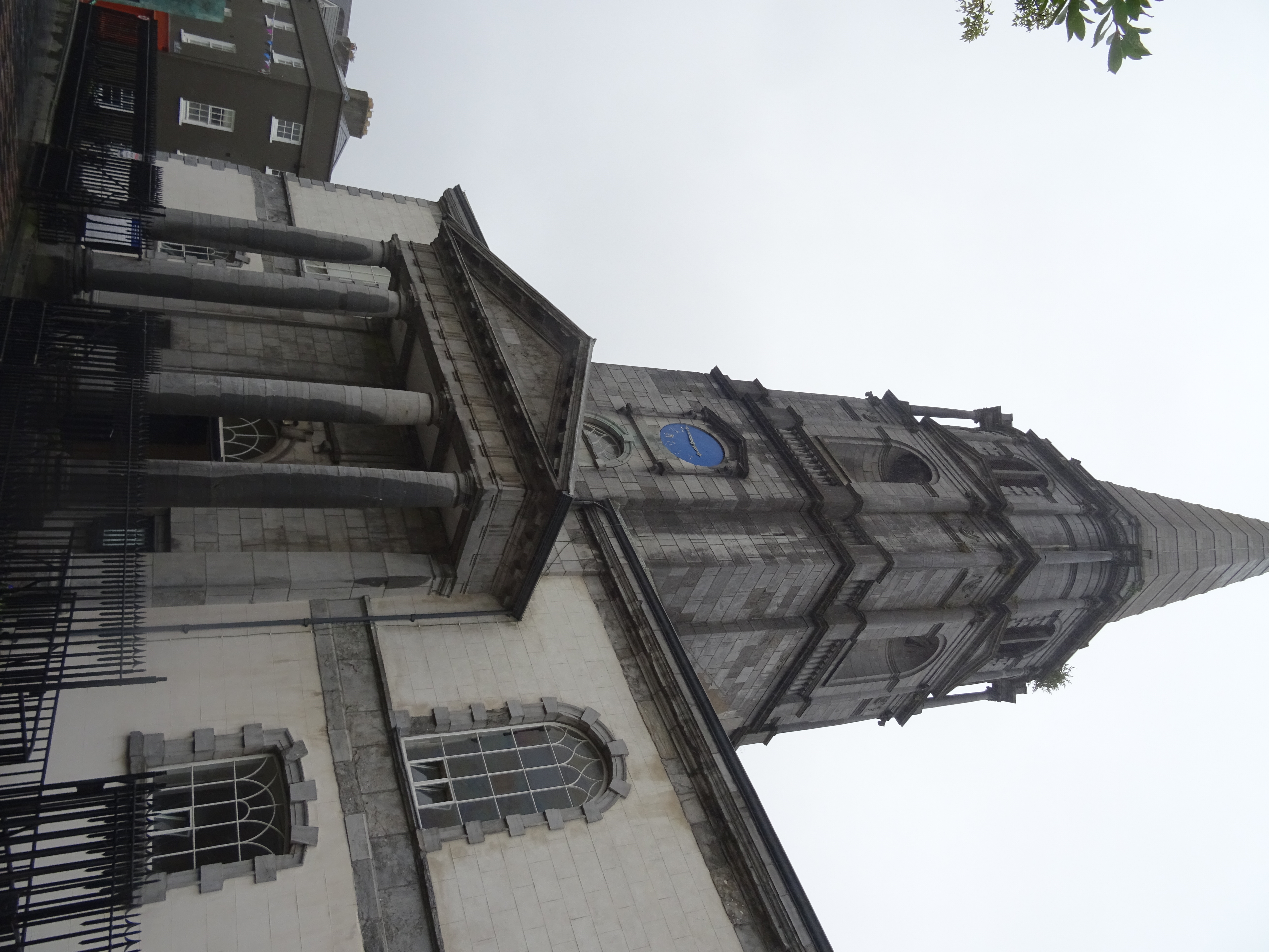 Church in EnglishtownChurch · 800 yd
 Burnt mound in BallynevogaBurnt mound · 873 yd
 Church in Shanbally (decies Without Drum By.)Church · 886 yd
 Cliff-edge fort in CarrigmoornaCliff-edge fort · 1623 yd
 Bawn in Castlequarter (decies Without Drum By., Kilrossanty Par.)Bawn · 1682 yd
 Cloncoskoran Castle (in ruins)Castle, tower house · 1.8 mi
 Deelish MountainMountain / peak · 1.8 mi
 Horse-chestnutHorse-chestnut · 2.3 mi
 CrohaunMountain / peak · 2.8 mi
 Dungarvan CastleCastle · 4.3 mi
 Dungarvan World War I MemorialMemorial · 4.3 mi
 Cunnigar PointHeadland · 4.3 mi