
What is recorded here
In pastureland. This rectangular early medieval church (13.75m E-W; 7.3m N-S; wall T 0.8m) is roughly centrally located within an ecclesiastical enclosure (GA095-016001-). It is constructed mainly of large mortared limestone blocks, fairly evenly coursed, but in the W gable the blocks in the lower courses are distinctly narrower. A plinth is visible at the base of the S wall and the W gable. It is heavily overgrown with ivy. The N wall is incorporated into the townland boundary wall, which cuts through the enclosure at W and NE; a roadway now runs on the N side of this boundary wall. A roughly NE-SW running field wall extends away from the SE corner of the church. The doorway, at the W end of the S wall, is partially blocked up. Fragments of its jambstones, architrave and overhead relieving arch survive. The jambstones are decorated with roll and line mouldings and diagonal tooling is also visible. Round-headed deeply splayed lancet windows are visible in the E gable and towards the E end of the S wall. Diagonal tooling is visible on the gable window. The interior of the church is heavily overgrown. When Redington (1912, 176-9) visited the church it was in 'an almost perfect state of preservation' except that some of the stones of the unusual 'square-headed' doorway, including the lintel stone had been pulled out and broken, and were lying on the ground. A square-headed window was visible in the W gable, indicating a loft at this end of the church, which Redington (ibid. 179) concluded, from the position of the joist holes, was exceptionally large and extended to the E of the doorway, to about the middle of the church. Redington (ibid. 177) believed the church was of 12th century date and but suggested that the N wall and some of the large boulders in the other walls were from an earlier church. (McCaffrey 1952, no. 49, 83, 146)
Compiled by: Olive Alcock
Date of upload: 6 April 2020
The monument record does not grant public access. Check the route and ask the landowner before entering private land.
- What survives
- Recorded monument
Places near here
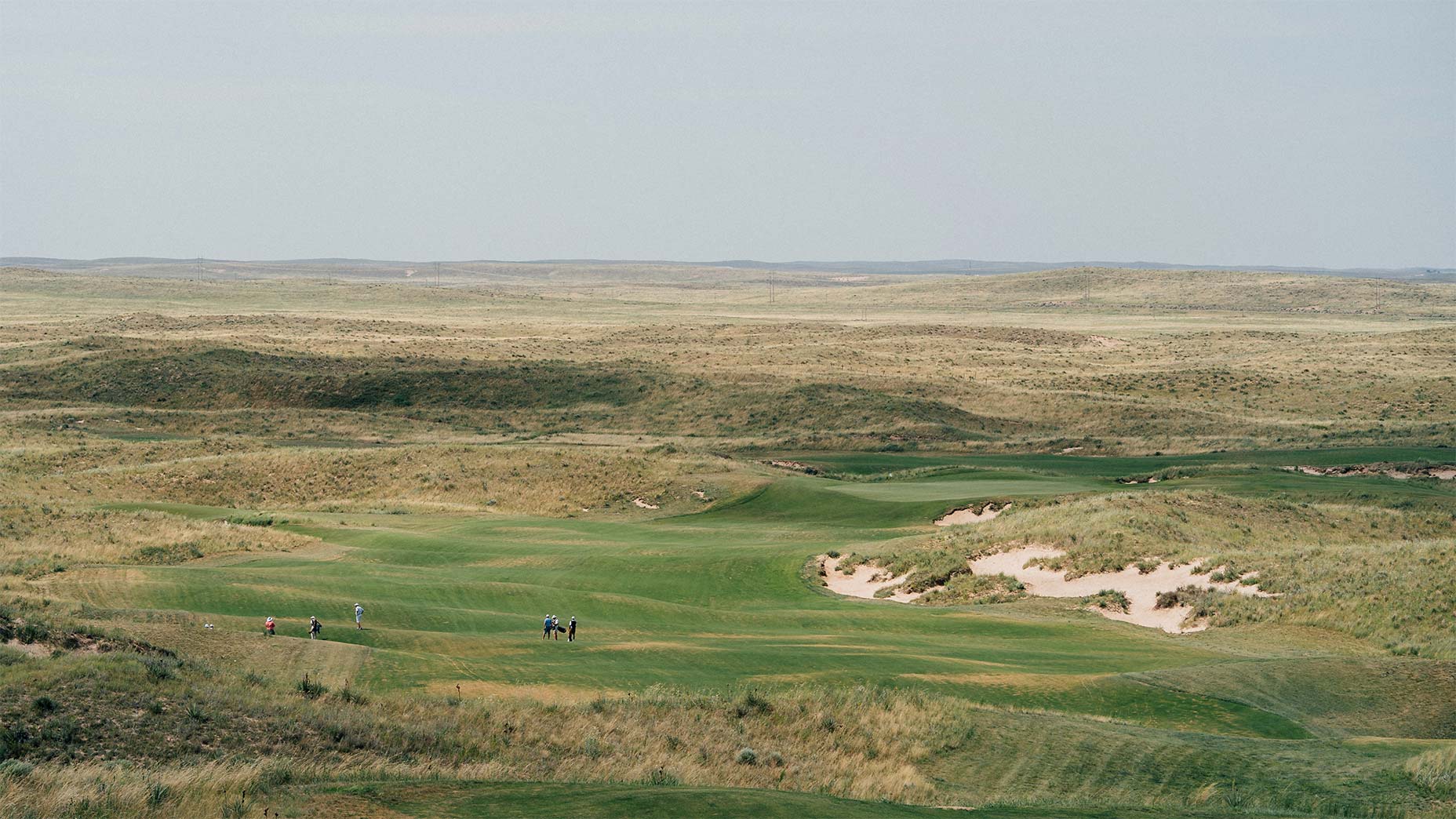 Field system in BallinillaunField system · 1402 yd
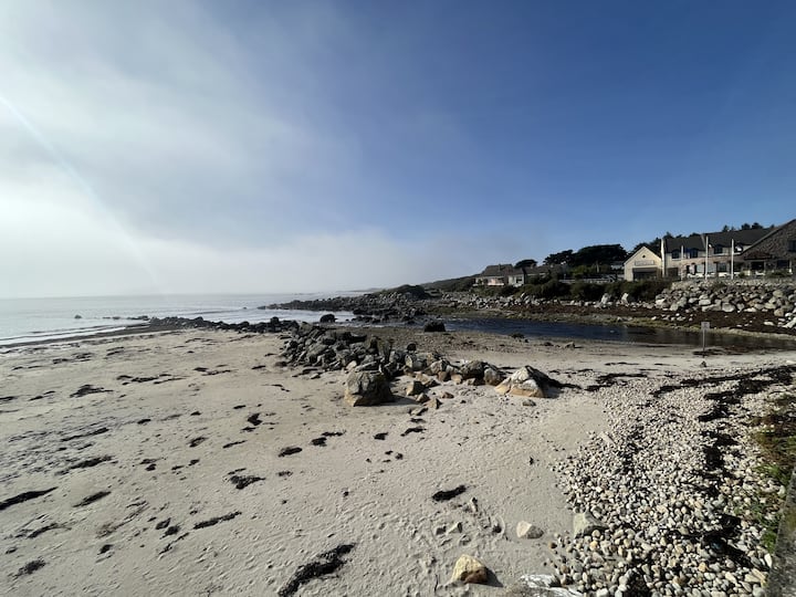 Man-made underground passage in BallinillaunMan-made underground passage · 1428 yd
 Laghtgal Monumentmonument · 1.0 mi
 Kilcornan WoodWood · 1.2 mi
 Loughaun WoodWood · 1.4 mi
 Bawn in MoyveelaBawn · 1.4 mi
 Toberbrackan CastleCastle, unclassified · 1.4 mi
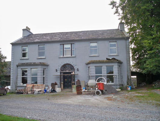 Lavallycountry house · 1.5 mi
 Drumacoo Monastic SiteHeritage attraction · 4.2 mi
 MweenisharanIslet · 5.0 mi
 Mweenish PointHeadland · 5.6 mi
 Athenry AbbeyHeritage attraction · 5.7 mi
Other information
Photo: Credit not shown in the picture search · Rights wording not checked; contact us if this picture should be removed