What is recorded here
Identified as Port Airchinneach (Connellan 1954), it is listed as part of the boundary of Hy Many (O'Donovan 1843, 5) and was plundered by Mac William Burke in 1260 (ALC 1, 435). Situated on a hill overlooking Portrunny Bay (dims c. 1km NW-SE; c. 400-600m N-W), an inlet of Lough Ree, c. 170m to the E. The church is a rectangular structure (int. dims 13.2m E-W; 6.25m N-S), of which only the N wall with an aumbry towards its E end, and the S wall survive. The S wall has two lancet windows in round-headed embrasures towards the E end, only one of which is complete, and a destroyed and blocked doorway towards its W end. The W end of the N wall is truncated by the remaining fragment of the N wall of a house (RO042-044003-) (int. dim. at least 7.55m E-W) which had been vaulted over the ground floor. The church is within a small graveyard (RO042-044002-) (dims 33m E-W; 24m N-S) defined by masonry walls, but archaeological testing (97E0187) 50-150m to the W (Murphy 1998) revealed no archaeological features. Further archaeological testing 09E0499) further E had a similar result (Byrne 2012b). St Diarmaid's Well (RO041-168001-) is c. 110m to the E.
Compiled by: Michael Moore
Date of upload: 19 June 2012
The church at Portrunny was likely built in the early medieval period, associated with the territory of Hy Many, and reflects a Gaelic Christian tradition. Its location on a hill and mention in historical records highlight its strategic and religious significance in the region.
The monument record does not grant public access. Check the route and ask the landowner before entering private land.
- What survives
- Recorded monument
Places near here
 IndicatedHoly well · 116 yd
 Cruit BayBay · 659 yd
 Galey BayBay · 1561 yd
 Galey CastleCastle, tower house · 1654 yd
 Embanked enclosureFairy fort / earthen ringfort · 1.0 mi
 Sedgy IslandIslet · 1.1 mi
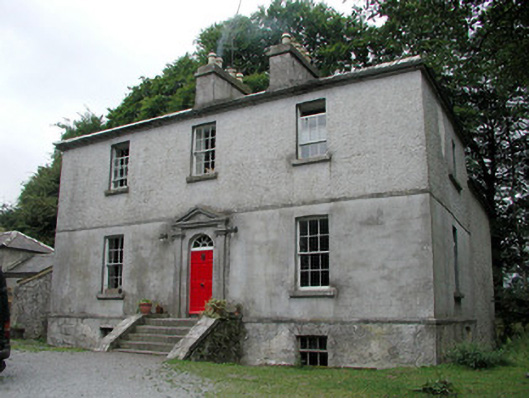 Killinvoy Houserectory/glebe/vicarage/curate's house · 1.4 mi
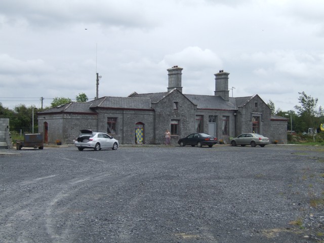 Knockcroghery Railway Stationrailway station · 1.6 mi
 Hangman's HillMountain / peak · 1.6 mi
 Dogs IslandIslet · 1.8 mi
 Ballymurray ForestForest · 3.1 mi
 Lower WoodForest · 3.2 mi