
What is recorded here
National monument No. 408. Described in the Urban Survey (Bradley et. al. 1989, 159-62) as following: 'Westropp (1904-5, 419-21) has listed all of the important early references to this church. It is sufficient to observe here that it appears to have replaced a pre-Norman church (as the round tower fragment indicates) and that the dedication to SS Peter & Paul is recorded from the thirteenth century. The church consists of a thirteenth century nave and chancel with wide aisles, possibly additions of the fifteenth century, a thirteenth century south transept and a fifteenth century south porch (now gone) and pointed south doorway with ogee-headed hood mould (Leask 1955-60, iii, 83). It is built of roughly coursed limestone; the stonework in the east wall and below the windows of the chancel is of dressed masonry. The east gable has a five-light window of slender graduated lancets and the chancel is lit from the south by three twin-light cusped pointed windows. A similar window occurs in the south wall of the aisle with a rectangular hood mould and there is a large triple-light window with switch-line tracery close to the west end. The west wall of the south aisle has a twin-light window with rectangular hood mould while the west wall of the nave has three graduated lancets over a pointed doorway. Close to the junction of the nave with the north aisle is the earliest building on the site. This is the base of a round tower which is incorporated into the west wall and protrudes from it to the west. Only the lower 3m appear to be original, the remainder is a construction of the 13th century when the nave was built (Barrow 1979, 146). The north aisle is lit by three twin-light and one single-light narrow windows. The transept has two widely spaced lancets in the south wall and blocked windows in the east and west walls.'
The monument record does not grant public access. Check the route and ask the landowner before entering private land.
- What survives
- Recorded monument
Places near here
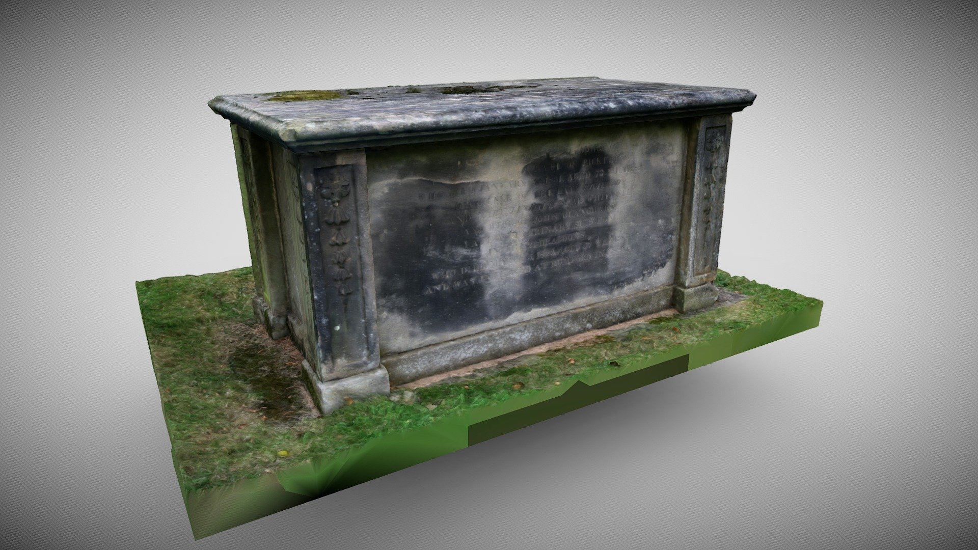 TombTomb, chest tomb · 9 yd
 Round TowerRound tower · 13 yd
 Bridge in Abbeyfarm,kilmallockBridge · 103 yd
 Ivy Cottagehouse · 110 yd
 King John's CastleCastle · 155 yd
 Kings CastleCastle, tower house · 156 yd
 Kilmallock AbbeyHeritage attraction · 175 yd
 Site of Castle CooteBawn · 700 yd
 St Bridget's WellSpring · 1.7 mi
 Lady's WellSpring · 3.2 mi
 Ballyhoura tourist informationVisitor information · 5.3 mi
 Holy Cross CemeteryGraveyard · 5.5 mi
Other information
Photo: Mike Searle · CC BY-SA 2.0