What is recorded here
On a S-facing gentle slope, with River Suir c. 200m to S, in undulating pasture. Mentioned in Papal Chancery documents in 1210 and 1260 as 'Kilholouan' and 'Killoluwam' respectively, in the Papal Tax records in c. 1306 as 'Kildolowan' and in the Calendar of Papal Registers in 1497 as 'Kylolohan' (Ó Cearbhaill 2007, 211). The medieval church is mentioned in the Civil Survey of 1654-6 as 'a little Church unroofed' (Simington 1931, vol. 1, 283). The church itself is on the S side of a square-shaped graveyard (TS83-012001-). There is a large, derelict and roofless C of I church 4.5m N of the medieval church, described as 'a new Church' in the OS Letters, c. 1840 (O'Flanagan 1930, vol. 2, 147). The medieval church is rectangular (int. dims. 4.8m N-S; max. surviving length 14.7m E-W; wall T 0.9m; H above int. 1.7-1.8m N and S wall respectively) constructed of sandstone and limestone rubble, roughly coursed. It is badly overgrown with ivy leaving little masonry visible. The quoins at the NE angle have collapsed, and the E wall does not survive but is delineated by a low rubble line (H 0.8m) from its collasped masonry. The W wall is completely destroyed, with no trace of its original position. A single-light window at the E end of the S wall has sandstone surrounds, though only three lower W jambs with an external chamfer survive. According to the OS Letters (O'Flanagan 1930, vol. 2, 146) there was an E window with sandstone surrounds, though its form could not be discerned due to heavy ivy growth.
Compiled by: Jean Farrelly
Date of upload: 26 August 2011
The church at Killaloan Lower was likely built in the 13th or early 14th century, as suggested by its mention in Papal records from 1210 to c. 1306, and may have been dedicated to St. Columba, as is common with "Kil-" prefixed sites. Its ruins reflect an early Christian settlement pattern in the region, though specific builders remain unidentified.
The monument record does not grant public access. Check the route and ask the landowner before entering private land.
- What survives
- Recorded monument
Places near here
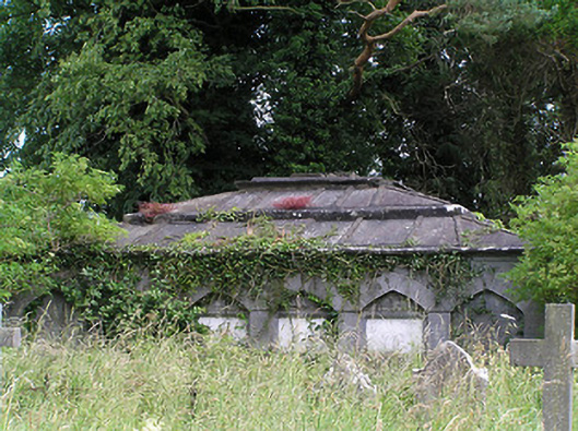 Killaloan Churchmausoleum · 46 yd
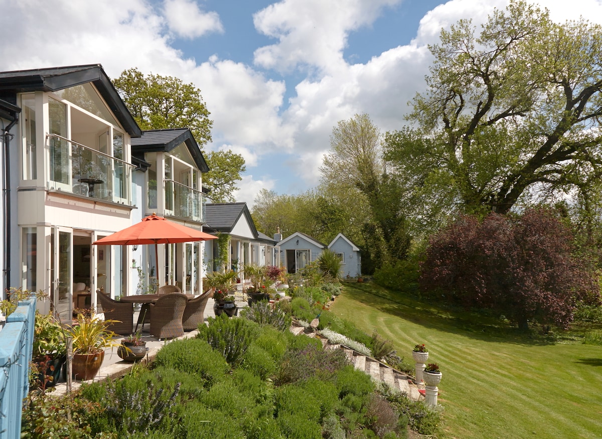 Enclosure in Killaloan LowerEnclosure · 340 yd
 Black PoplarBlack Poplar · 555 yd
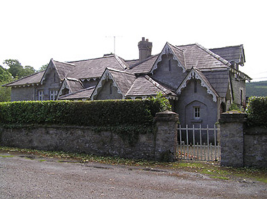 Newtownanner National Schoolschool · 566 yd
 Derrinlaur Castle (in ruins)Castle, tower house · 740 yd
 Bourke's GroveForest · 855 yd
 Enclosure in Tikincor LowerEnclosure · 970 yd
 Gurteen CastleCastle · 1.4 mi
 CarrigeenseebohillaMountain / peak · 2.0 mi
 Long HillMountain / peak · 2.6 mi
 RetrospectMemorial · 2.9 mi
 Charles BianconiMemorial · 3.2 mi