What is recorded here
On the E edge of rolling grassland and western upper edge of a small steep river valley. Very steep drop down to E. Good views in all directions. The church is depicted on the 1st ed. OS 6-inch map as a rectangular building (dims. c. 13m x 5m), roughly orientated E-W. It is shown in the centre of the western end of the graveyard (KK015-024001-), the W gable forming part of the W boundary of the graveyard, with a roadway immediately to the W. According to Carrigan (1905, vol. 1, 281), 'Some slight traces of the old parish church of Kilderry remained in the townland of the same name, till about the year 1848, when they were entirely destroyed, the graveyard obliterated, and a presbytery erected on the site, by the Rev. John Delany, C.C. Johnswell. The church was dedicated to St. Muicin, latinized Mochinus, Bishop and Confessor (March 4th) ... Nicholas Mothyng or Motyng, Rector of the church of Kilder[ry], and, for many years Chancellor of Ossory Diocese, died Feb. 14th, 1568-9, and is buried in St. Canice's Cathedral'. It would appear that the church was located immediately NE of the present Kilberry House but there is no visible trace of it above ground. The grounds surrounding Kilberry House are known as the 'church meadow'.
Compiled by: Jean Farrelly
Date of upload: 2 March 2016
This remains an important historical record, but the official description says the monument is no longer visible or has been destroyed. The monument record does not grant public access. Check the route and ask the landowner before entering private land.
- What survives
- No visible remains or recorded as destroyed
Places near here
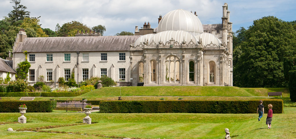 Enclosure in KilderryEnclosure · 42 yd
 The Garden ShedRuins · 940 yd
 Rathcoole Church (in ruins)Church · 945 yd
 Enclosure in Carrigeen (gowran By.)Enclosure · 1255 yd
 Gleann Dick ForestForest · 1.4 mi
 St. Mogarra’s WellSpring · 1.6 mi
 Clara CastleCastle, tower house · 1.7 mi
 The CummerForest · 1.8 mi
 CastleCastle, motte · 2.4 mi
 Ivan PowerMemorial · 4.1 mi
 Michael CarthyMemorial · 4.2 mi
 Heritage Project Interpretation of the City Walls in Butler HouseVisitor information · 4.2 mi