What is recorded here
In a broad fairly steep-sided N-S valley with small near vertical-sided (2H -3m) stream gorge at the bottom. Fair views along and across valley. The fields are mostly reclaimed grassland. This is indicated as a church on the E bank of the stream on the 1st (1839) ed. and 1900 ed. OS 6-inch map. It may be associated with or indeed confused with the 'Abbey' on the W bank of the stream. According to O'Kelly (1953, 24-5), 'what little remains of the Abbey is now covered with brushwood and briars and local inhabitants state that the then remaining walls were used long years ago to build the road bridge that spans the stream a few hundred yards to the north'. The area is heavily overgrown with scrub and trees and the church was not visible at time of inspection.
Compiled by: Jean Farrelly
Date of upload: 7 March 2016
The monument record does not grant public access. Check the route and ask the landowner before entering private land.
- What survives
- Recorded monument
Places near here
 IndicatedGraveyard · 7 yd
 Enclosure in CoorleaghEnclosure · 1338 yd
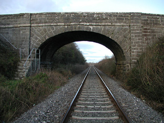 bridgebridge · 1.1 mi
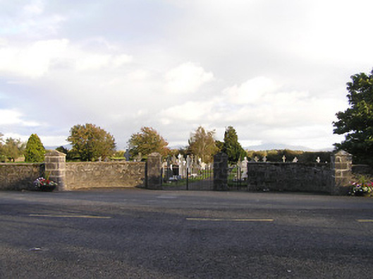 graveyard/cemeterygraveyard/cemetery · 1.3 mi
 The Green GardenWood · 1.5 mi
 Freneystown CastleCastle, tower house · 2.1 mi
 Church (in ruins), GraveyardChurch · 3.0 mi
 Moonhall Castle (ruins)Castle · 3.1 mi
 HawthornHawthorn · 3.6 mi
 St. Mogarra’s WellSpring · 3.8 mi
 Lock Keeper's House and Lodge MillsVisitor information · 4.1 mi
 The Columban WayVisitor information · 4.5 mi