What is recorded here
The graveyard in Tinvoher is in County Tipperary, Ireland. It is on an east-facing slope beside a ringwork to the west and a tower house to the east. The adjacent church has an ivy-covered nave and chancel, a truncated barrel-vaulted tower on the chancel's east end, and two seventeenth-century graveslabs dated 1643 and 1644 with fleur-de-lis symbols on the chancel floor. The graveyard itself holds eighteenth and nineteenth-century headstones and a water spout set into its west sector.
Situated on an E-facing slope with a ringwork (TN035-030001) to the W and a tower house (TN035-030005) to the E in undulating countryside. Listed in the ecclesiastical taxation of the Diocese of Cashel in 1302 (CDI, vol. 5, 283). The ivy covered remains of a nave and chancel church (TN035-030002) with a barrel-vaulted tower built onto the E end of the chancel. The tower, which appears to be contemporary with the chancel, has been truncated and now stands only one storey high. It is lit by a twin-light flat-headed seventeenth-century window in the E gable and has destroyed windows at the E end of the N and S walls. The presence of an offset on the side-walls of the tower probably acted as a structural support for the wooden frame of the vault during its construction. The chancel is lit by two windows (now destroyed) at the E end of the S wall and by another (also destroyed) directly opposite in the N wall. The chancel arch is constructed with cut-stone voussoirs dating from the late seventeenth/early eighteenth century and appears to have supported a wooden insertion, possibly the head of a window. The N and S walls of the nave only survive as wall-footings with no features visible on the W gable. There are two seventeenth-century graveslabs (TN035-03008/009) dating to 1643 and 1644 and decorated with fleur-de-lis symbols on the floor of the chancel. The graveyard (TN035-030007) contains eighteenth and nineteenth-century headstones with a water spout, possibly from the tower, inserted into the surface of the graveyard in the W sector.
Compiled by: Caimin O'Brien.
Date of upload: 22 September 2008
This remains an important historical record, but the official description says the monument is no longer visible or has been destroyed. The monument record does not grant public access. Check the route and ask the landowner before entering private land.
- What survives
- No visible remains or recorded as destroyed
Places near here
 Church (in Ruins), Grave Yd.Church · 31 yd
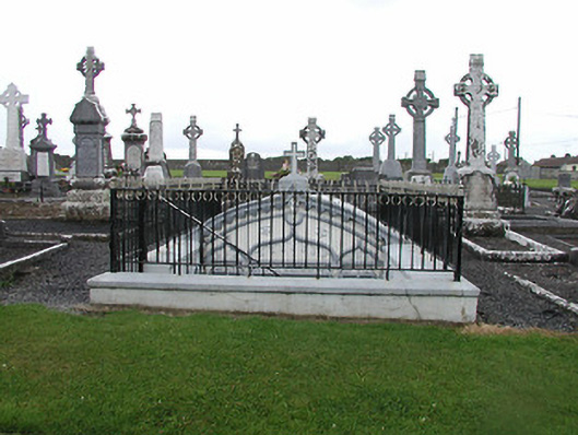 Catholic Church of the Nativity of Our Ladymausoleum · 57 yd
 CastleCastle, ringwork · 140 yd
 Loughmoe CourtHouse, fortified house · 389 yd
 Enclosure in TinvoherEnclosure · 708 yd
 Enclosure in Curraghmore (loughmoe East Par.)Enclosure · 1.1 mi
 Morris's GroveForest · 2.5 mi
 Kilvilcorris BogForest · 3.1 mi
 Devil's Bit MountainMountain / peak · 5.7 mi
 Pallas HillMountain / peak · 6.3 mi
 Cormackstown Heritage CentreMuseum · 6.6 mi
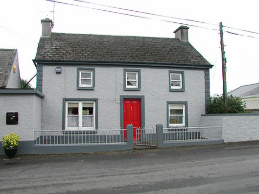 barracksbarracks · 270 yd