What is recorded here
On a S-facing slope, c. 90m to the S of a castle (GA103-120003-). This heavily overgrown and much-collapsed medieval parish church (16.6m E-W; 6.4m N-S) is constructed of mortared limestone blocks. The S side-wall (H 0.3-4.1m max.) is the best wall, only the lower courses of the other walls (H 0.4-2.6m)survive, though well-executed quoin stones are visible in places. Redington (1912, 68-9) suggested that the church might be of 13th-century date based on the surviving architectural features, which included the remains of ‘three lancet windows’ in the E gable, the sills of which had recently been removed but parts of the jambs of which still survived. She also noted another window at the E end of the N side-wall and part of the W jamb of a doorway with ‘broad chamfers’ at the W end of the same wall. None of these features are now visible. A settlement cluster (GA103-120001-) is associated.
Compiled by: Galway Archaeological Survey, UCG
Date of upload: 14 February 2020
The monument record does not grant public access. Check the route and ask the landowner before entering private land.
- What survives
- Recorded monument
Places near here
 Dunkellin Castle (in ruins)Castle, tower house · 104 yd
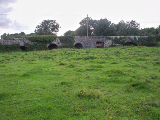 Dunkellin Bridgebridge · 222 yd
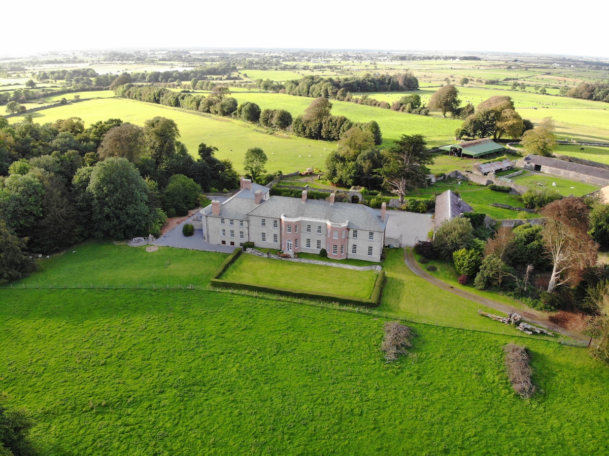 EnclosureEnclosure, large enclosure · 280 yd
 LisheendoodanFairy fort / stone ringfort · 406 yd
 Castlegar (in ruins)Castle, unclassified · 591 yd
 St. Colmans Catholic ChurchChurch · 1412 yd
 Kilcornan ForestWood · 1.5 mi
 Kilcornan WoodWood · 1.8 mi
 Drumacoo Monastic SiteHeritage attraction · 2.9 mi
 MweenisharanIslet · 4.4 mi
 Drumharsna CastleHeritage attraction · 4.7 mi
 IllananireyIslet · 5.6 mi