
What is recorded here
Situated on a spur between the valley of N-S Annestown stream to the E and a NW-SE tributary to the W. It is now accessible from the road in the valley below. This is the parish church of Dunhill within a rectangular graveyard (WA025-044002-) (dims c. 53m E-W; c. 37m N-S) defined by earthen banks with external stone facing. The church is described by O'Donovan c. 1840 as a nave (int. dims. 17m E-W; 6.25m N-S) and chancel (int. dims. 6.4m E-W; 4.3m N-S) with a fallen tower (int. dim. 3.4m N-S) at the W end (O'Flanagan 1929, 21-2). Almost all the walls are reduced to overgrown foundations, except the W nave wall which has a pointed doorway of unworked stone and the E chancel wall with its robbed-out window. There is evidence of a window and aumbry in the S wall of the chancel. A stone head that was found in the graveyard (WA025-044004-) cannot be traced now. Dunhill tower house (WA025-045----) is c. 175m to the ESE, and the site is accessible from the roadway in the valley to the E. (Power 1895, 139-41).
The above description is derived from the published 'Archaeological Inventory of County Waterford' (Dublin: Stationery Office, 1999). In certain instances the entries have been revised and updated in the light of recent research.
Date of upload/revision: 23 December 2008
A local church or high cross; wider significance not recorded.
The monument record does not grant public access. Check the route and ask the landowner before entering private land.
- What survives
- Recorded monument
Places near here
 Grave YardGraveyard · 21 yd
 Castle (in ruins)Castle, tower house · 201 yd
 Dunhill CastleCastle · 202 yd
 Woodstown Br.Bridge · 280 yd
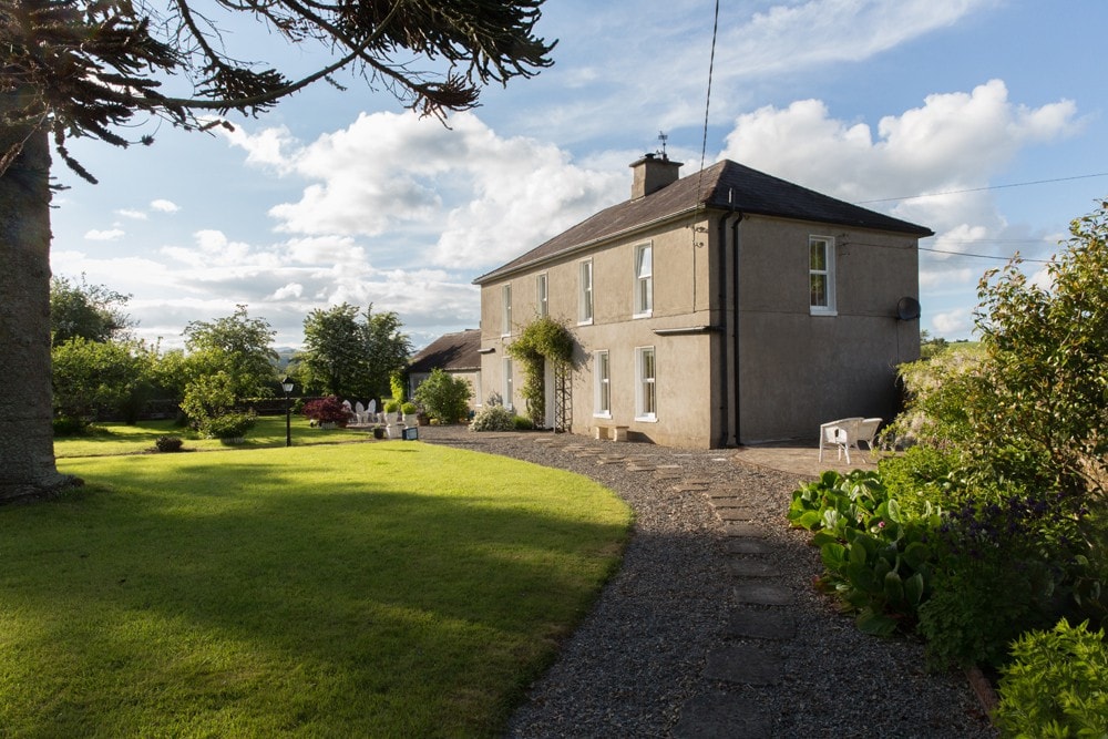 Enclosure in KilcannonEnclosure · 393 yd
 Annestown monumentMemorial · 1357 yd
 Catholic Church of the Sacred HeartOfficially recorded historic building · 1759 yd
 Lime KilnVisitor information · 1.3 mi
 Annestown BeachBeach / strand · 1.3 mi
 Benvoy BeachBeach / strand · 1.5 mi
 Fenor BogNature reserve · 1.8 mi
 St. Martin's WellSpring · 1.9 mi
Other information
Photo: Credit not shown in the picture search · Rights wording not checked; contact us if this picture should be removed