
What is recorded here
On highest point of heavily wooded island. Probably a house site, though shown as ruined church on OS map (1838). Probable church (MA117-060----) 200m N. Square-shaped structure (7.1m N-S; 7.1m E-W), with walls (H 2.8m; Wth 0.75m) of stone and mortar, plastered in interior. Orientated NE to SW. Entrance feature (Wth 1.4m) on SE, with porch-like structure (L 2m). Window (Wth 0.6m) on NE wall.
The above description has been derived from D. Lavelle (compiler), An Archaeological Survey of Ballinrobe and District including Lough Mask and Lough Carra. Lough Mask and Lough Carra Tourist Development Association (1994), No. 557.
Date of upload: 5 November 2013
The monument record does not grant public access. Check the route and ask the landowner before entering private land.
- What survives
- Recorded monument
Places near here
 Devenish IslandIslet · 34 yd
 Devenish RocksNamed rock · 561 yd
 CarrigeenbaunNamed rock · 1013 yd
 Religious houseReligious house, unclassified · 1255 yd
 Lamb IslandIslet · 1.1 mi
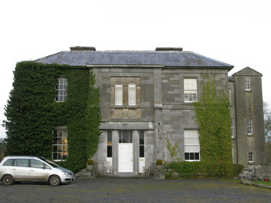 Curraghmorecountry house · 1.2 mi
 Castle HagFortification · 1.8 mi
 IndicatedFairy fort / earthen ringfort · 1.9 mi
 Castle in ruinsCastle, unclassified · 2.1 mi
 Loughmask CastleCastle · 2.9 mi
 Coill Thuar Mhic ÉadaighWood · 3.0 mi
 Runnet HillMountain / peak · 3.1 mi
Other information
Photo: Credit not shown in the picture search · Rights wording not checked; contact us if this picture should be removed