What is recorded here
On a NE-facing slope, in rough grazing with outcropping bedrock. Within an irregularly shaped graveyard (KK030-004003-) which appears to have been enclosed after 1839, as on the 1st ed. OS 6-inch map it is indicated as unenclosed. There are extensive views to the N. The Down Survey (1655-6) barony map of Kells shows a symbol representing the church and glebe lands at Coolaghmore (Hibernia Regnum, courtesy of Trinity College Dublin). According to the OS Letters (1839), 'a Patron [is] held here on the first Sunday in September but they have no remembrance of a Patron Saint' (O'Flanagan 1930, vol. 2, 47).
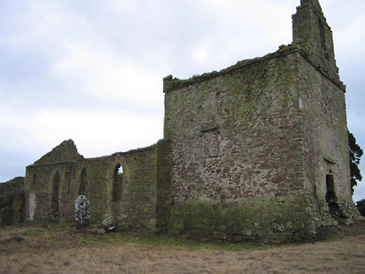
The church, which is aligned E-W, consists of a square chancel (ext. dims. 8.65m E-W; 8.1m N-S; int. dims. 6.5m square; E wall T 1.3m) with a later nave (int. dims. L 14.8m; W 6.3m; wall T 0.72m) occupying the space between the chancel and the residential tower (KK030-004002-) at the W end. The chancel has traces of an inserted flat-headed E doorway (H 2.05m; ext. Wth 1.35m) with a window above it and a window in the N and S wall respectively, the latter with a medieval font (KK030-004005-) at its base. There is a door to the nave at W, with a medieval graveslab (KK030-004004-) inset. There is a second medieval graveslab (KK030-004009-) in graveyard.
The nave dates to the mid-18th century and was lit by four opposing lancet windows with brick jambs in the N and S walls, though the most easterly in both walls had brick-arched doorways with small windows above inserted and subsequently blocked up. There are traces of a gallery at the E end. The church was restored in 1818 but decommissioned later in the 19th century (https://www.buildingsofireland.ie/buildings-search/building/12403004/coolaghflags-catholic-chapel-old-coolaghmore-coolaghflags-co-kilkenny).
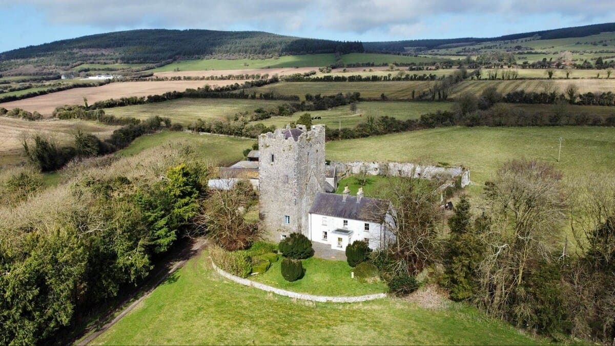
A doorway near the NW angle of the nave gives access to the three-storey residential tower.
Carrigan (ibid.) mentions 'two uninscribed coffin-shaped slabs [KK030-004010- and KK030-004011-], with raised crosses' of 13th/14th century date in the graveyard, which appear to be in addition to the two (KK030-004004- and KK030-004009-) identified during fieldwork.
See attached:
KK030-004001-_01 extract from Down Survey (1655-6) barony map of Kells (Hib. Reg., courtesy of Trinity College Dublin)
Compiled by: Jean Farrelly
Date of upload: 18 July 2023
The monument record does not grant public access. Check the route and ask the landowner before entering private land.
- What survives
- Recorded monument
Places near here
 Coolaghflags Catholic Chapelchurch/chapel · 6 yd
 CastleCastle, tower house · 9 yd
 Holy well in CoolaghmoreHoly well · 34 yd
 HawthornHawthorn · 116 yd
 Coolaghmore National SchoolMemorial · 287 yd
 Catholic Church of Our Ladychurch/chapel · 395 yd
 European ashEuropean ash · 1030 yd
 Fairy fort / ringfort in CoolaghflagsFairy fort / ringfort · 1208 yd
 James (Jim) McKennaMemorial · 1.6 mi
 Wellington Ho.Castle, unclassified · 2.2 mi
 Mill IslandIslet · 2.4 mi
 Green StreetVisitor information · 2.8 mi