What is recorded here
Located on a gentle E-facing slope at the foothills of the Blackstairs Mountains. This is an early ecclesiastical site, although the saint is not known. The graveyard is marked faintly as a circular enclosure (diam. c. 40m) on the 1839 ed. of the OS 6-inch map with a church building inside it. A fragment of a church wall and the nearby St Doran's Well are recorded by John O'Donovan writing c. 1840 (O'Flanagan 1933, vol. 2, 103) and there was also a possible bullaun stone or font at the well (Ua Dubhghaill 1925, 95) but none of these features survive. Traces of a circular ecclesiastical enclosure (diam. c. 70m) are visible as a band of subsoil on the surface when the field is ploughed. A granite cross (H 0.76m; Wth 0.38m; T 7cm) with an incised cross on one face and a raised boss on the other is within the small graveyard (ext. dims. 12m N-S; 11m E-W) defined by masonry walls that is possibly a family graveyard now. A second granite cross (H 0.7m; Wth 0.35m; max. T 0.14m) with an elaborately incised cross on one side and a tennon at the base is also within the graveyard. Archaeological testing (05E0893) to withn 30m S and SW of the graveyard produced no archaeological material (McLoughlin 2008).
The above description is derived from the published 'Archaeological Inventory of County Wexford' (Dublin: Stationery Office, 1996). In certain instances the entries have been revised and updated in the light of recent research.
Compiled by: Michael Moore
Date of upload/revision: 22 May, 2012
The monument record does not grant public access. Check the route and ask the landowner before entering private land.
- What survives
- Recorded monument
Places near here
 Cross in Askinvillar UpperCross · 1 yd
 St. Doran's WellArchaeological place · 51 yd
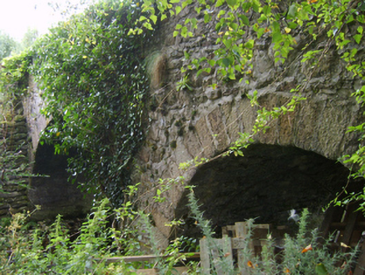 Askinvillar Bridge or Rigley's Bridgebridge · 1029 yd
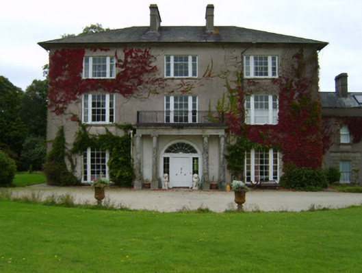 Woodbrook Housecountry house · 1737 yd
 1798 MemorialMemorial · 2.1 mi
 SlievebaunMountain / peak · 2.2 mi
 KnockroeMountain / peak · 3.1 mi
 Coonogue WoodForest · 3.5 mi
 Killoughrum ForestForest · 4.4 mi
 Mount LeinsterMountain · 4.6 mi
 Irish Hangliding and Paragliding AssociationMemorial · 4.7 mi
 Ruin of a small castleRuins · 5.4 mi