
What is recorded here
A burial ground but no church is shown on the OS 6-inch maps, although a church is shown in ruins on Taylor's map of County Kildare (1783). There is no trace of this church in the graveyard which was reputed locally to be a plague cemetery for victims of a nearby hamlet destroyed after an outbreak of the plague.
Date of upload: 8 September 2016
This remains an important historical record, but the official description says the monument is no longer visible or has been destroyed. The monument record does not grant public access. Check the route and ask the landowner before entering private land.
- What survives
- No visible remains or recorded as destroyed
Places near here
 Dollardstown WoodForest · 675 yd
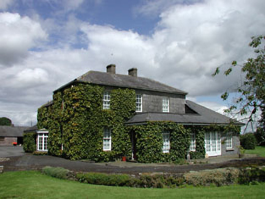 Snugburrow Housesteward's house · 1102 yd
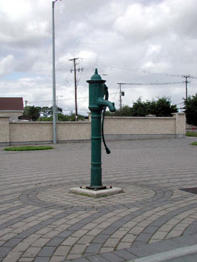 water pumpwater pump · 1159 yd
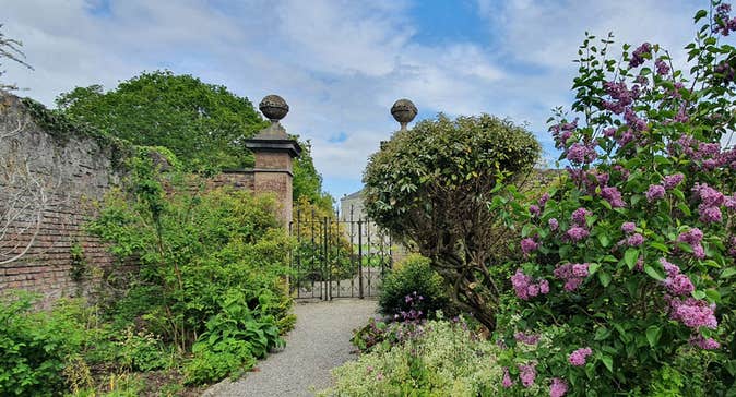 Enclosure in Rosetown (grangemellon Ed)Enclosure · 1598 yd
 Not indicatdFairy fort / ringfort · 1663 yd
 .Site of St. Legers CastleCastle, unclassified · 1.4 mi
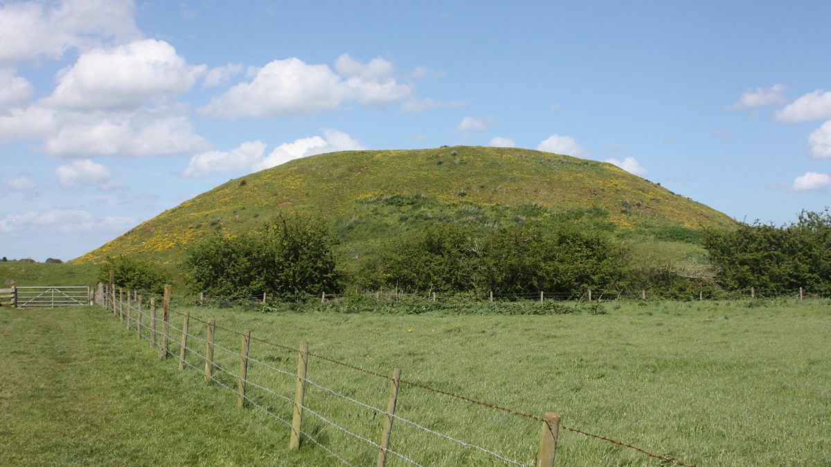 The MoundCastle, motte and bailey · 1.5 mi
 Mullaghreelan WoodForest · 2.4 mi
 Lorcán Ó TuathailMemorial · 2.4 mi
 ProclamationMemorial · 4.6 mi
 Castledermot Round TowerHeritage attraction · 4.8 mi
 Franciscan FriaryHeritage attraction · 4.8 mi
Other information
Photo: Credit not shown in the picture search · Rights wording not checked; contact us if this picture should be removed