What is recorded here
Small rectangular church (8.7m E-W; 4.45m N-S) in SE quadrant of cashel (CO114-021001-); known locally as "Teampull na Dithreabhaigh (church of the hermit)" (O'Donoghue 1986, 318) and marked on 16th century map of Beare (O'Brien 1970, 17). Only lower courses of walls stand; central door in S wall (Wth 1.15m). Interior filled with low, uninscribed gravemarkers and known locally as children's burial ground (CO114-021003-) (O'Shea & Crowley 1972, 43).
The above description is derived from the published 'Archaeological Inventory of County Cork. Volume 1: West Cork' (Dublin: Stationery Office, 1992). In certain instances the entries have been revised and updated in the light of recent research.
Date of upload/revision: 14 January 2009
The church in Reentrusk, known locally as "Teampull na Dithreabhaigh" (church of the hermit), was likely built in the early medieval period, probably between the 7th and 10th centuries. It is a small rectangular church associated with a hermitage tradition and is situated within a cashel, indicating a possible monastic or ecclesiastical settlement.
The monument record does not grant public access. Check the route and ask the landowner before entering private land.
- What survives
- Recorded monument
Places near here
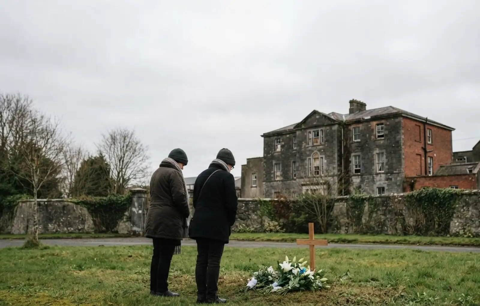 Children's burial ground in ReentruskChildren's burial ground · 6 yd
 Hut site in ReentruskHut site · 86 yd
 Blue IslandsIslet · 215 yd
 DooneenViewpoint · 1217 yd
 Industrial chimney in AllihiesIndustrial chimney · 1235 yd
 Old Copper MineRuins · 1340 yd
 Black RockIslet · 1435 yd
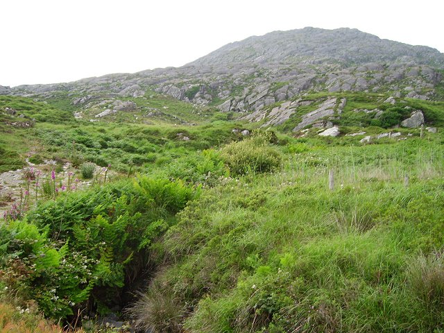 Eagle HillMountain / peak · 1615 yd
 KnocknagallaunMountain / peak · 1.1 mi
 Allihies Copper Mine MuseumMuseum · 1.4 mi
 Caherkeen Mass RockHeritage attraction · 1.5 mi
 Ballydonegan StrandBeach / strand · 1.5 mi