What is recorded here
In a low-lying position on an undulating landscape. A beehive quernstone (RO048-041002-) and a stone basin which might be a bullaun stone (RO048-041003-) were found in 1958 where there is a local tradition of a church (NMI file). The quernstone was acquired by NMI (Lucas 1960, 36-7), but the possible bullaun stone cannot be traced. Archaeological testing (09E0496) just to the E failed to produce any related archaeological material (Byrne 2012a).
Compiled by: Michael Moore
Date of upload: 19 June, 2012
The monument record does not grant public access. Check the route and ask the landowner before entering private land.
- What survives
- Recorded monument
Places near here
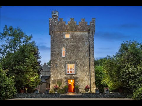 IndicatedFairy fort / earthen ringfort · 267 yd
 Kiltoom ChurchChurch · 580 yd
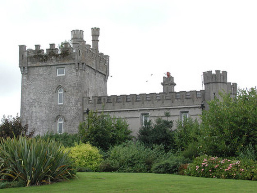 Moyvannan Castlecountry house · 635 yd
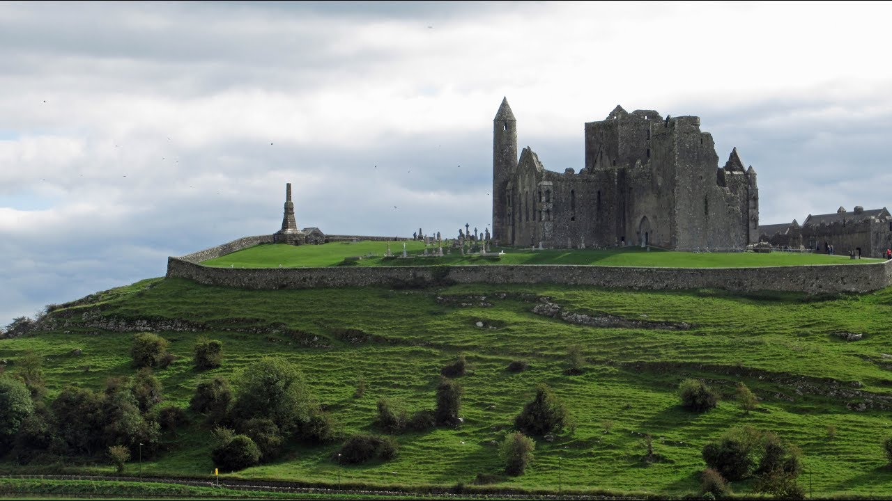 Mass-rock in KiltoomMass-rock · 693 yd
 Carnagh BayBay · 1.2 mi
 Long IslandIslet · 1.5 mi
 Little IslandIslet · 1.6 mi
 Bally BayBay · 1.8 mi
 Curraghboy CastleCastle, unclassified · 2.8 mi
 RindoonWood · 3.9 mi
 Rindown CastleCastle, Anglo-Norman masonry castle · 4.0 mi
 St. John's WoodWood · 5.0 mi