What is recorded here
In the NW part of Lough Derg. On the 1947-8 edition of the OS 6-inch map, the name 'Friar's Island' is appended to a small island c. 240m offshore and to NNE of Cloonmoylan House (GA126-015----). Some 260m to the S another island is named 'Abbey Island'. On the 1838 edition of the map the names of the two islands are reversed. According to local information, there was formerly a church on the currently named 'Friar's Island' but its stones were removed to build a mill (see GA126-033----) just over 3km to the N. Rising lake waters have reduced the size of the island (diam. 15m), which is now overgrown. No visible surface traces of any structures survive.
Compiled by: Galway Archaeological Survey, UCG
Date of upload: 27 March 2020
The monument record does not grant public access. Check the route and ask the landowner before entering private land.
- What survives
- Recorded monument
Places near here
 Friar's IslandIslet · 4 yd
 Abbey IslandIslet · 338 yd
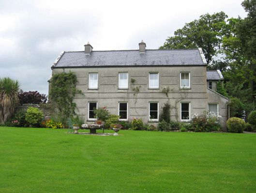 Cloonmoylan Househouse · 492 yd
 Stonyisland BayBay · 1130 yd
 Castle in ruinsCastle, unclassified · 1362 yd
 ToberustaHoly well · 1.1 mi
 Cregg PointHeadland · 1.6 mi
 Enclosure in SawnaghEnclosure · 1.6 mi
 Cloondadauv CastleCastle · 1.6 mi
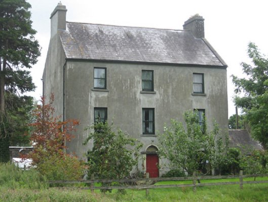 Killeen Housemiller's house · 2.0 mi
 Portumna Forest ParkForest · 2.4 mi
 Kylenameely WoodWood · 3.2 mi