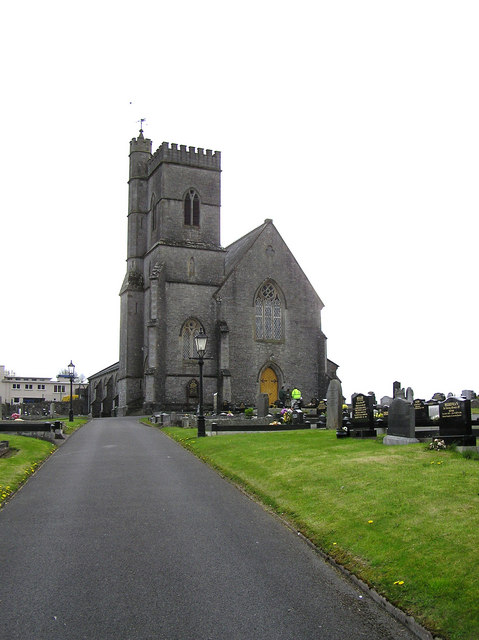
What is recorded here
The official Northern Ireland record identifies this as CHURCH. Recorded period: C19TH; POST-MED. The official map point was placed at the centre of the recorded archaeological site from the source map reference.
The monument record does not grant public access. Check the route and ask the landowner before entering private land.
- What survives
- Recorded monument
Places near here
 Holy Trinity ChurchChurch · 13 yd
 Castle BalfourCastle · 42 yd
 CASTLE: CASTLE BALFOUR in Castle Balfour DemesneCASTLE: CASTLE BALFOUR · 45 yd
 Ulster BankBank · 241 yd
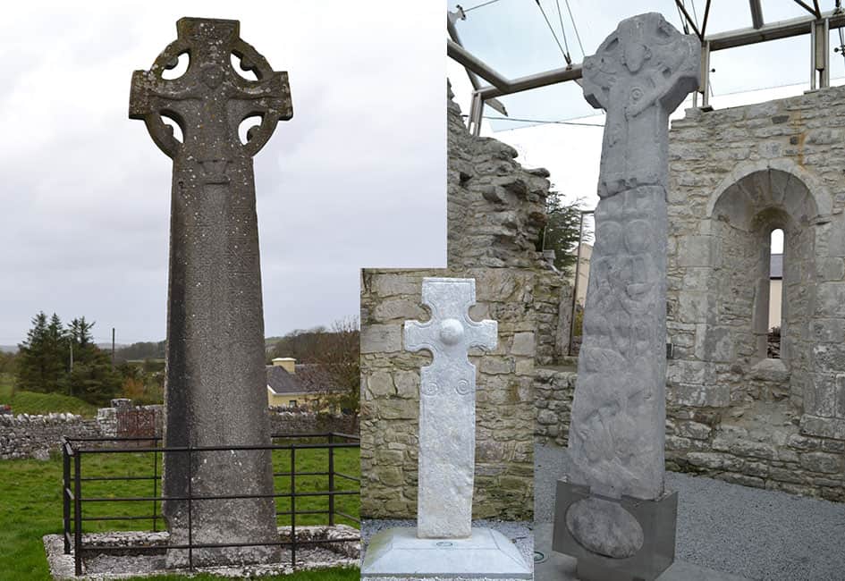 Celtic High CrossHeritage attraction · 292 yd
 ENCLOSURE in SheebegENCLOSURE · 1130 yd
 CAIRN & ENCLOSURESCAIRN & ENCLOSURES, INAUGURATION SITE: MOTE · 1329 yd
 Carrowhony Pet FarmHeritage attraction · 1.6 mi
 Rabbit IslandIsland · 2.6 mi
 InishoreIsland · 2.8 mi
 Toners WoodWood · 4.3 mi
 Coolnasillagh ForestForest · 4.3 mi
Other information
Photo: Kenneth Allen · CC BY-SA 2.0