What is recorded here
The precise location of the medieval church of Kilmore within the townland of Kilmore has not been identified. The church is depicted on the 1654-9 Down Survey map of Street parish where it is shown standing in a field S of the glebe land of Kilmore (NLI, MS 723-4). The terrier of this Down Survey map recorded that in this parish there stood 'a Church at Kilmore' (ibid.). The boundaries of Kilmore glebe are depicted on the 1837 ed. OS 6-inch map and the remains of a possible ecclesiastical enclosure (WM002-015----) survive immediately E of the rectory. The church was probably located in the field S of this glebe land as depicted on the 1837 ed. OS 6-inch map. Alternatively the church could have been located inside the possible ecclesiastical enclosure or in the area where the modern farmyard stands to N of the Rectory and which may stand on the site of a graveyard (WM002-015002-) associated with Kilmore Church.
Compiled & revised by: Caimin O'Brien
Date of revised upload: 23 November 2016
The monument record does not grant public access. Check the route and ask the landowner before entering private land.
- What survives
- Recorded monument
Places near here
 Partially indicatedEcclesiastical enclosure · 580 yd
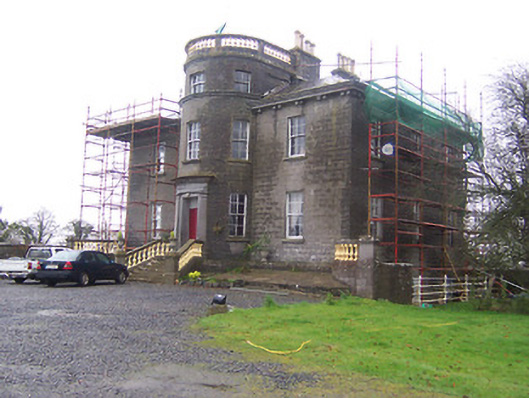 Kildevin Housecountry house · 752 yd
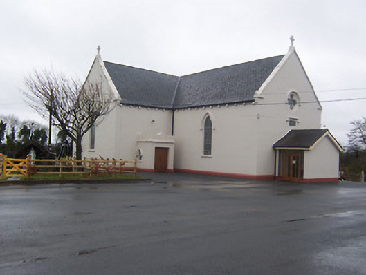 Saint Mary's Catholic Churchchurch/chapel · 1348 yd
 Coolamber CastleHouse, fortified house · 1554 yd
 IndicatedCross, Wayside cross · 1624 yd
 MoatCastle, motte and bailey · 1.1 mi
 Silver FirSilver Fir · 3.8 mi
 Sweet ChestnutSweet Chestnut · 4.8 mi
 Granard MotteMotte-and-bailey castle remains · 5.4 mi
 1798 Monumentmonument · 5.5 mi
 Clonfin Ambush MemorialMemorial · 6.1 mi
 Bridge Memorial (Kenna)Memorial · 6.1 mi