
What is recorded here
Situated in pasture at the S edge of the floodplain of the W-E River Suir, c. 250m S of the river. There is a local tradition of a church which moved from this location to a site across the river in Co. Tipperary (Power 1895b, 247). Nothing is visible at ground level.
Power, Rev. P. (1895b) The ancient ruined churches of Waterford. WAJ. 1, 133-41, 152-72; 247-53.
The above description is derived from the published 'Archaeological Inventory of County Waterford' (Dublin: Stationery Office, 1999). In certain instances the entries have been revised and updated in the light of recent research.
Date of upload/revision: 23 December 2008
A local church or high cross; wider significance not recorded.
The monument record does not grant public access. Check the route and ask the landowner before entering private land.
- What survives
- Recorded monument
Places near here
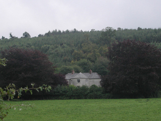 Churchtown Househouse · 482 yd
 Ballynoran Church (in ruins)Church · 632 yd
 Castle (in ruins)Castle, tower house · 884 yd
 Churchtown WoodForest · 888 yd
 Coolnamuck Wood WestForest · 1256 yd
 Site of ChurchChurch · 1400 yd
 Grave YardGraveyard · 1419 yd
 Maurice DavinMemorial · 1459 yd
 Ballydine Ho.Castle, unclassified · 1.2 mi
 Thomas KielyMemorial · 1.9 mi
 CarrigcoumMountain / peak · 2.5 mi
 Ormonde CastleHeritage attraction · 3.6 mi
Other information
Photo: Credit not shown in the picture search · Rights wording not checked; contact us if this picture should be removed