What is recorded here
In pasture, on level ground. According to local information, tradition of site of church; field known as "keel field". (CMSS)
The above description is derived from the published 'Archaeological Inventory of County Cork. Volume 2: East and South Cork' (Dublin: Stationery Office, 1994). In certain instances the entries have been revised and updated in the light of recent research.
Date of upload/revision: 14 January 2009
A local church or high cross; wider significance not recorded.
The monument record does not grant public access. Check the route and ask the landowner before entering private land.
- What survives
- Recorded monument
Places near here
 Garrylucas EastSettlement cluster · 1030 yd
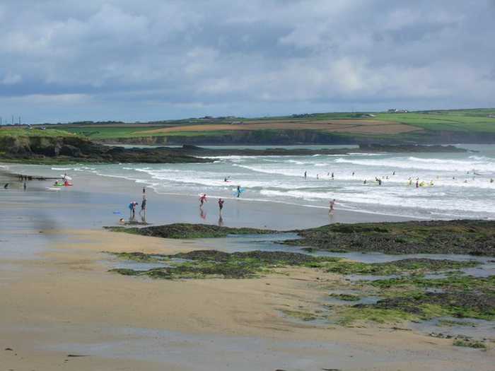 Garrylucas, White StrandBeach / strand · 1036 yd
 school master's houseschool master's house · 1052 yd
 Old Head of Kinsale National Schoolschool · 1078 yd
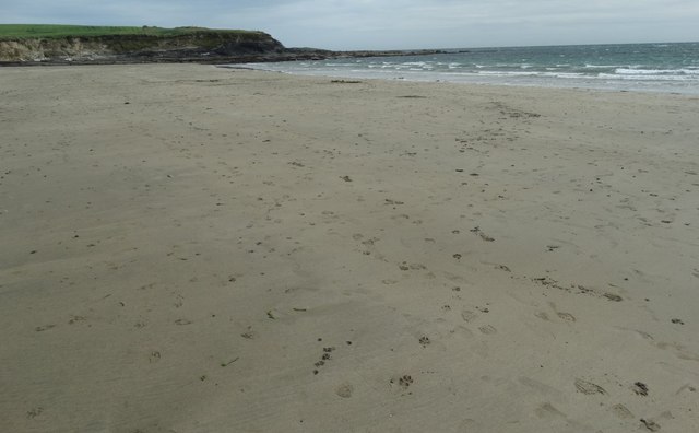 White StrandBeach / strand · 1191 yd
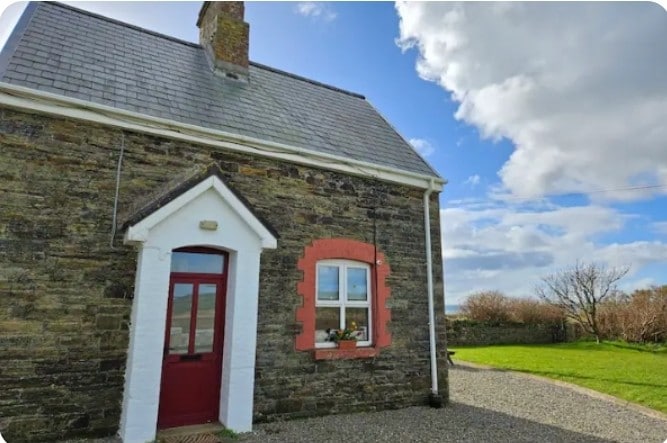 Fulacht fia in Lispatrick LowerFulacht fia · 1198 yd
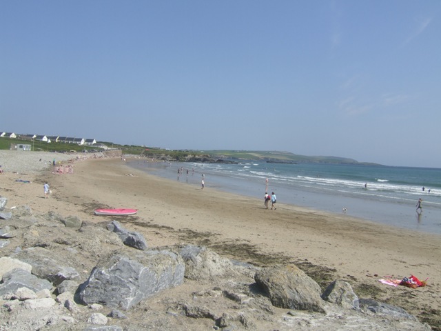 Garretstown StrandBeach / strand · 1.1 mi
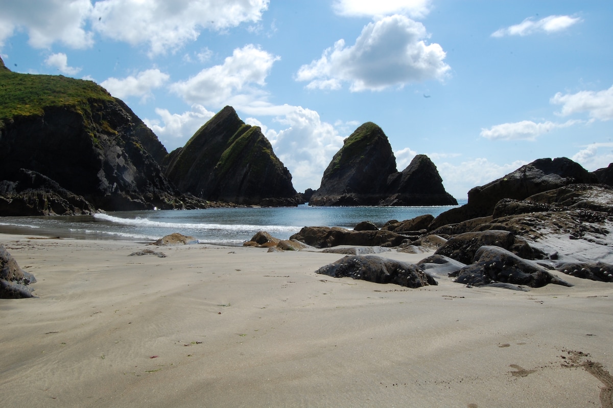 Minane IslandIsland · 1.7 mi
 Lusitania MemorialMonument · 1.9 mi
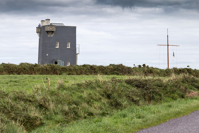 Old HeadViewpoint · 1.9 mi
 Courtaparteen Famine VillageWood · 2.0 mi
 De Courcey CastleCastle · 2.1 mi