
What is recorded here
The following description is derived from both the published 'Archaeological Inventory of County Louth' (Dublin: Stationery Office, 1986) and the 'Archaeological Survey of County Louth' (Dublin: Stationery Office, 1991). In certain instances the entries have been revised and updated in the light of recent research.
Date of upload/revision: 17 July 2007
Remains of possible medieval church appeared to be in the centre of the graveyard (LH003-042001-) in 1929 (CLAJ 1929, 61) but were no longer visible when visited in the late 1960s. (CLAJ 1941, 23)
The monument record does not grant public access. Check the route and ask the landowner before entering private land.
- What survives
- Recorded monument
Places near here
 Promontory fortPromontory fort, inland · 534 yd
 Enclosure in Roche (dundalk Upr By; Roche Par.)Enclosure · 722 yd
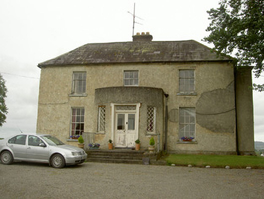 Barronstown Rectoryrectory/glebe/vicarage/curate's house · 1027 yd
 Slieve Cottagefarm house · 1062 yd
 Bawn in Shortstone EastBawn · 1264 yd
 Roche CastleCastle, Anglo-Norman masonry castle · 1645 yd
 Sky HillMountain / peak · 1.5 mi
 Ballsmill Amenity LandPicnic place · 2.2 mi
 Forkhill Greenspace PathwayWalking route · 3.2 mi
 TievecromMountain / peak · 3.3 mi
 Dundalk CentralHeritage attraction · 3.4 mi
 Ring of Gullion Way - ForkhillVisitor information · 3.4 mi
Other information
Photo: Credit not shown in the picture search · Rights wording not checked; contact us if this picture should be removed