What is recorded here
The site of the parish church of Duncormick is at the W edge of a plateau overlooking a N-S stream c. 170m to the W. It is within a rectangular graveyard (dims c. 60m E-W; c. 40-50m N-S) defined by masonry walls, and was replaced by the Church of Ireland church c. 1810 (O'Flanagan 1933, vol. 2, 209). According to a Visitation by Thomas Ram, the Protestant bishop of Ferns, in 1615 Henry Reigh was the curate, but the condition of the church building is not recorded (Hore 1900-11, vol. 6, 269). St Clomaun's Well (WX046-036----) where a stone with the inscription 'R.C. 1696' and other pieces were found is c. 400m to the S on the other side of the stream. Archaeological testing (04E1335) uncovered evidence of a fosse (Wth 2.4-3m) of what may be an ecclesiastical enclosure (dims c. 120m E-W; c. 65m N-S) to the N and E of the graveyard, the rest of the perimeter being formed by the graveyard wall at S and the road curving W-N just to the W (McLoughlin 2004, 9, 11; 2008). The motte and bailey (WX046-035002-) is c. 120m to the W.
The above description is derived from the published 'Archaeological Inventory of County Wexford' (Dublin: Stationery Office, 1996). In certain instances the entries have been revised and updated in the light of recent research.
Compiled by: Michael Moore
Date of upload/revision: 19 August, 2013
Amended: 2 Sep. 2013
The monument record does not grant public access. Check the route and ask the landowner before entering private land.
- What survives
- Recorded monument
Places near here
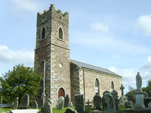 Saint Peter's Catholic Churchchurch/chapel · 1 yd
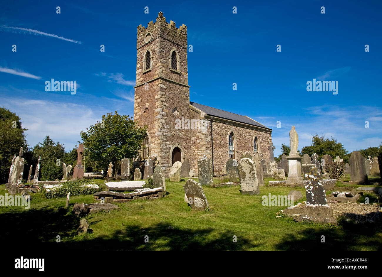 Ecclesiastical enclosure in DuncormickEcclesiastical enclosure · 22 yd
 Field system in DuncormickField system · 93 yd
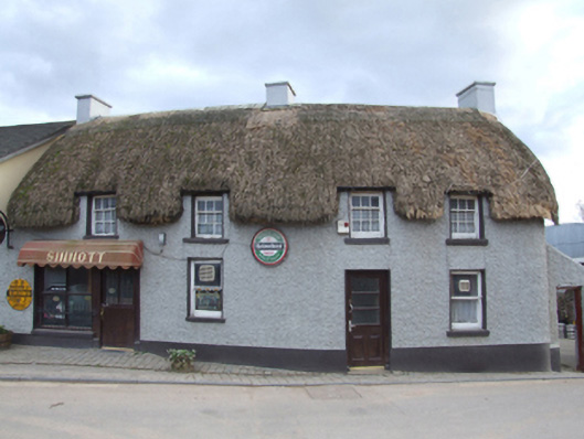 Sinnottfarm house · 103 yd
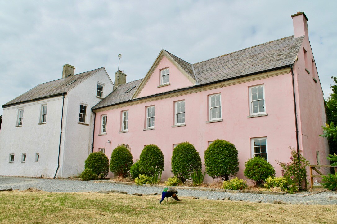 Embanked enclosureCastle, motte and bailey · 154 yd
 Castle (in ruins)Castle, tower house · 278 yd
 Cull IslandIsland · 1.6 mi
 Ballyteigue BurrowNature reserve · 2.3 mi
 Cullenstown StrandBeach / strand · 2.9 mi
 Carrig-On-BannowVisitor information · 3.4 mi
 1798 MemorialMemorial · 3.4 mi
 Ballymadder PointHeadland · 3.8 mi