What is recorded here
Unlocated church within townland, mentioned in the Cashel and Emly Atlas 1970.
The above description is derived from 'The Archaeological Inventory of County Tipperary. Vol. 1 - North Tipperary' compiled by Jean Farrelly and Caimin O'Brien (Dublin: Stationery Office, 2002). In certain instances the entries have been revised and updated in the light of recent research.
Date of upload/revision: 22 September 2008
The monument record does not grant public access. Check the route and ask the landowner before entering private land.
- What survives
- Recorded monument
Places near here
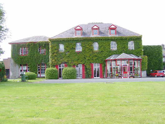 Dovea Housecountry house · 435 yd
 Enclosure in Dovea UpperEnclosure · 623 yd
 Enclosure in LiscreaghEnclosure · 758 yd
 CastleCastle, tower house · 1732 yd
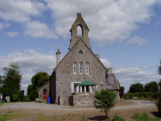 Saint Michael'schurch/chapel · 1.1 mi
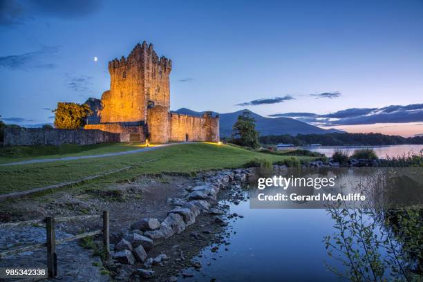 Rorardstown Castle (in Ruins)Castle, unclassified · 1.2 mi
 Kilvilcorris BogForest · 2.3 mi
 Pallas HillMountain / peak · 3.4 mi
 European ashEuropean ash · 3.9 mi
 KnockaneMountain / peak · 4.0 mi
 Cormackstown Heritage CentreMuseum · 4.4 mi
 Lár na PáirceMuseum · 4.4 mi