What is recorded here
The parish and town of Balliroane are represented on Sir William Petty's Map of Cullenagh barony. A few houses mark the site of the town; and a considerable strip of bog is marked. Its town is represened by a group of seven detached houses near its celebrated moat (O'Hanlon and O'Leary 1907, vol. 1, 187). On the Old Map of Leix and Ophaly Ballyrone is marked, as Tolouer, now Tullore, and Dromselege, now Drimashellig, a townland in this parish. Coulinleigh and Koulingh is marked on the old Map of Leix and Ophaly (O'Hanlon and O'Leary 1907, vol. 1, 186). According to the History of the Queens County Ballyroan was an impropriate rectory, with residence in 1616 (O'Hanlon and O'Leary 1907, vol. 1, 186). Thomas Manby was minister and preacher, with books. The church and chancel were kept in repair (Ibid. p. 187).
19th century C of I church and graveyard at the N end of the village of Ballyroan may be located on site of 17th-century church (LA024-06001-) and graveyard (LA024-06002-).
Compiled by: Caimin O'Brien
Date of upload: 17 December 2007
The monument record does not grant public access. Check the route and ask the landowner before entering private land.
- What survives
- Recorded monument
Places near here
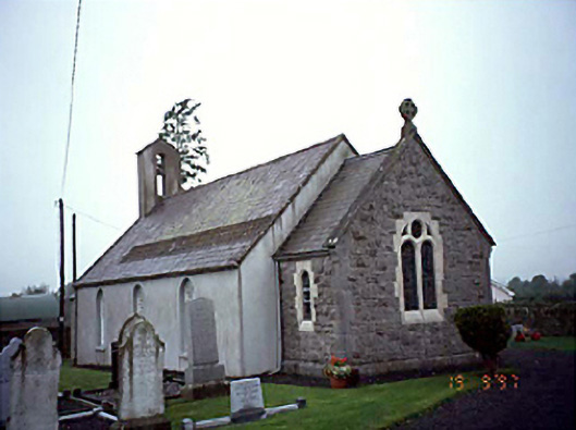 Ballyroan Churchchurch/chapel · 3 yd
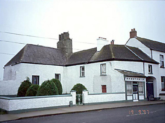 Ó Nuallainhouse · 78 yd
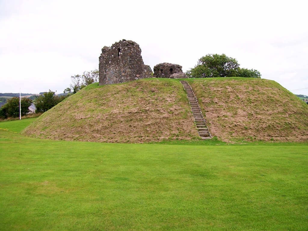 CastleCastle, motte · 156 yd
 Enclosure in Ballyroan (cullenagh By.),crubeenEnclosure · 858 yd
 Enclosure in CrubeenEnclosure · 1161 yd
 Rock of CashelMountain / peak · 2.2 mi
 Bawn in Cullenagh (cullenagh By.)Bawn · 2.6 mi
 Abbeyleix Heritage CentreMuseum · 2.8 mi
 Knocknamoe HouseMemorial · 3.0 mi
 Sweet ChestnutSweet Chestnut · 3.5 mi
 European BeechEuropean Beech · 3.6 mi
 Timahoe Church and Round TowerVisitor information · 4.3 mi