
What is recorded here
In pastureland overlooking marshy terrain to the S. A short stretch of walling (L 6m; H 1.2m; Wth 0.4m) incorporated into a NE-SW running roadside field boundary of earth and stone is regarded locally as the remains of a ‘church’. A gateway at its SW end accesses the field to the N. The wall is constructed of small roughly worked stones bound by limestone mortar. It is partially plastered over and the top of it is also capped with plaster and upright stones. No architectural features are evident.
Compiled by: Galway Archaeological Survey, UCG
Date of upload: 16 January 2020
The monument record does not grant public access. Check the route and ask the landowner before entering private land.
- What survives
- Recorded monument
Places near here
 Quarry in Abbeyland GreatQuarry · 311 yd
 Fulacht FiaArchaeological place · 371 yd
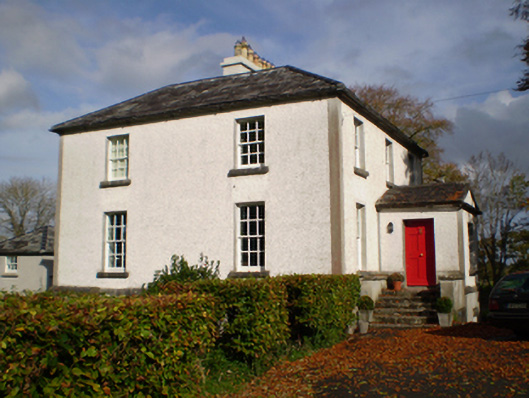 The Vicaragerectory/glebe/vicarage/curate's house · 494 yd
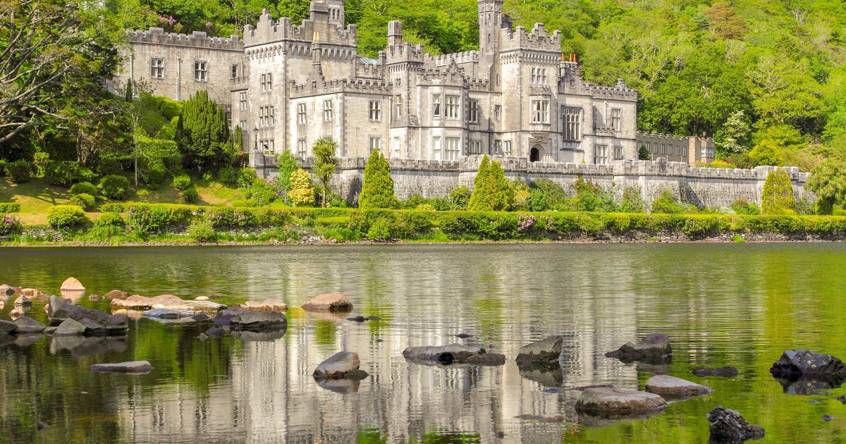 LisphubbleFairy fort / earthen ringfort · 832 yd
 Lismore CastleCastle, tower house · 1.1 mi
 Redmond HillMountain / peak · 2.0 mi
 European ashEuropean ash · 2.2 mi
 CastleCastle, unclassified · 2.3 mi
 MeelickVisitor information · 2.3 mi
 Killeen's IslandIsland · 2.5 mi
 InchanacleaIsland · 2.6 mi
 Horse-chestnutHorse-chestnut · 3.0 mi
Other information
Photo: Credit not shown in the picture search · Rights wording not checked; contact us if this picture should be removed