What is recorded here
Killoter marks the lost church and graveyard behind the official name, preserving a place where local people probably prayed, buried their dead and remembered what the field had taken. The unclear date does not remove the function: a church needs a congregation, a graveyard needs grief, and a field needs people who return often enough to keep its meaning alive. Moneycree still holds that repeated human motion beneath its ordinary surface.
The official Northern Ireland record identifies this as CHURCH & GRAVEYARD (site of): KILLOTER, THE GRAVEYARD FIELD. Recorded period: UNCERTAIN. The official map point was placed at the centre of the recorded archaeological site from the source map reference.
The monument record does not grant public access. Check the route and ask the landowner before entering private land.
- What survives
- Recorded monument
Places near here
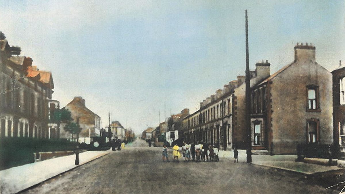 ENCLOSURE in CarganamuckENCLOSURE · 1544 yd
 Loughgall Ambushterrorist attack · 1.3 mi
 CASTLEDILLON OBELISK in TurcarraCASTLEDILLON OBELISK · 1.5 mi
 St Luke's Church of Ireland ChurchChurch · 1.5 mi
 Cannon HillViewpoint · 1.5 mi
 ENCLOSURE (unlocated) in KinnegoeENCLOSURE (unlocated) · 1.6 mi
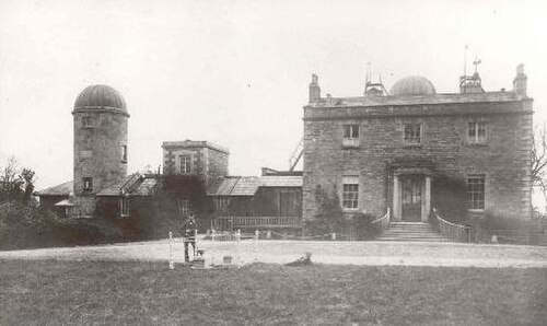 Armagh ObservatoryHistoric observatory · 2.8 mi
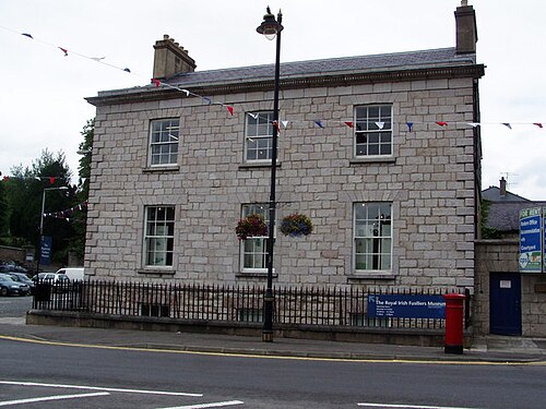 Royal Irish Fusiliers MuseumMuseum · 3.0 mi
 Battle of the Yellow FordMajor battlefield · 3.0 mi
 Boer War memorialMemorial · 3.1 mi
 Crimean CannonMemorial · 3.1 mi
 Abbey StreetVisitor information · 3.2 mi