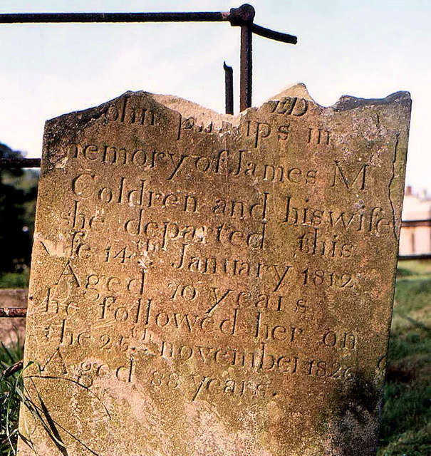
What is recorded here
Kilrush in Lisnagarvey holds a rectangular enclosure, graveyard and holy well beside a church that may never have existed. The boundary remains visible while the building vanished, leaving worship redirected toward water and dead rather than walls. People may have gathered there before stone churches became common, marking sacred ground with a simple line instead of a tower.
The official Northern Ireland record identifies this as CHURCH?, GRAVEYARD, RECTANGULAR ENCLOSURE & HOLY WELL: KILRUSH. Recorded period: UNCERTAIN. The official map point was placed at the centre of the recorded archaeological site from the source map reference.
The monument record does not grant public access. Check the route and ask the landowner before entering private land.
- What survives
- Recorded monument
Places near here
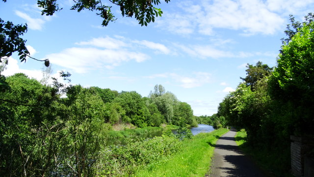 Lagan Valley IslandIsland · 148 yd
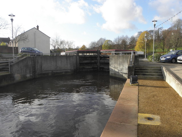 CANAL LOCK; part of the LAGAN NAVIGATIONCANAL LOCK; part of the LAGAN NAVIGATION, C.F. IHR 2680:72: LOCK 12 · 210 yd
 Wallace MemorialMemorial · 364 yd
 The Wallace MemorialMemorial · 364 yd
 Lisburn War MemorialMemorial · 398 yd
 CASTLE later ARTILLERY FORT (site of) & GATE: LISBURN CASTLE, CASTLE GARDENS, LISNAGARVEY in LisburnCASTLE later ARTILLERY FORT (site of) & GATE: LISBURN CASTLE, CASTLE GARDENS, LISNAGARVEY · 433 yd
 Welcome to Lagan Valley Regional ParkVisitor information · 505 yd
 Linen Centre and MuseumMuseum · 603 yd
 ENCLOSURE: PROSPECT HILL in LisnagarvyENCLOSURE: PROSPECT HILL · 848 yd
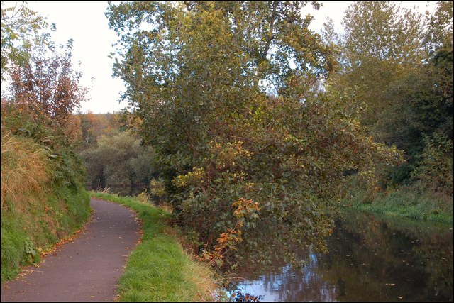 Lagan TowpathWalking route · 1466 yd
 CropmarkCropmark, Possible enclosure · 1711 yd
 PLANTATION HOUSE & BAWN: THE COURT in HillhallPLANTATION HOUSE & BAWN: THE COURT · 1.7 mi
Other information
Photo: Albert Bridge · Creative Commons Attribution-ShareAlike 2.0