What is recorded here
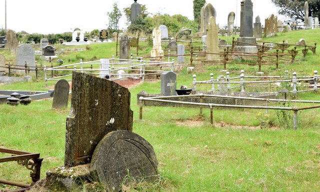
Blaris church and graveyard stand in County Down, preserving a medieval sacred landscape where local families probably buried their dead for generations. The exact building has vanished or changed beyond recognition, but the graveyard marker keeps the place visible on modern maps. That continuity matters because ordinary people lived, loved and died around this spot long before surveyors drew lines across it.
The official Northern Ireland record identifies this as CHURCH & GRAVEYARD. Recorded period: UNCERTAIN; MEDIEVAL. The official map point was placed at the centre of the recorded archaeological site from the source map reference.
The monument record does not grant public access. Check the route and ask the landowner before entering private land.
- What survives
- Recorded monument
Places near here
 Moore's BridgeBridge · 1494 yd
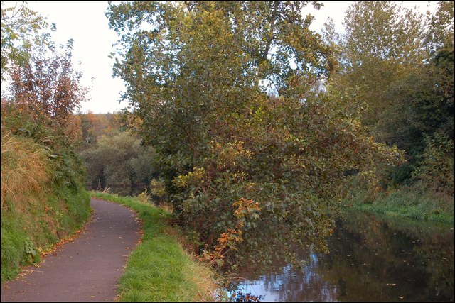 Lagan TowpathWalking route · 1.1 mi
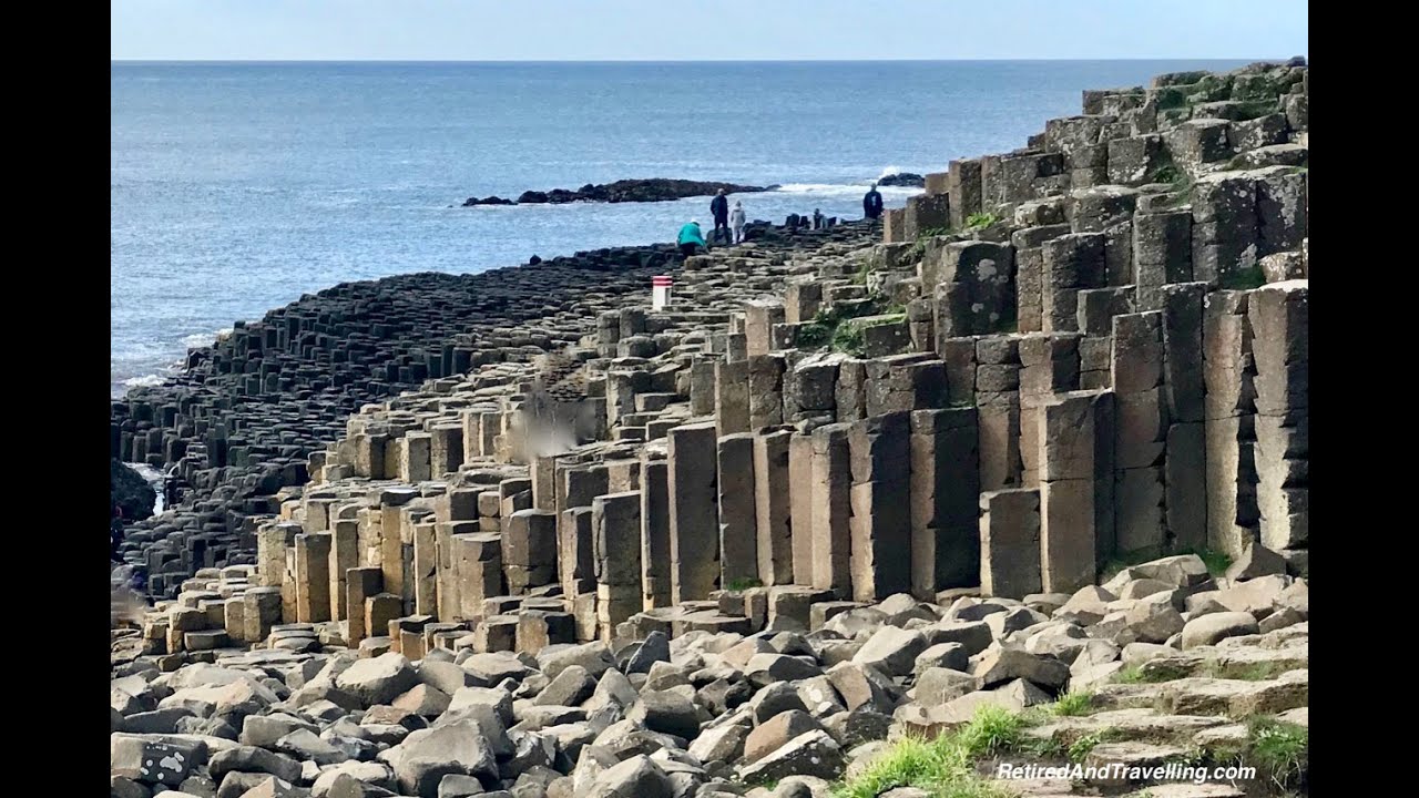 ENCLOSURE (O.S. memoir site, located)ENCLOSURE (O.S. memoir site, located), RATH excavated · 1.4 mi
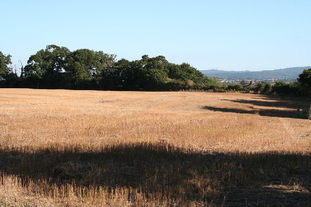 Bronze Age enclosure in BallymacossBronze Age enclosure · 1.5 mi
 First Lisburn Presbyterian ChurchChurch · 1.5 mi
 Linen Centre and MuseumMuseum · 1.5 mi
 Welcome to Lagan Valley Regional ParkVisitor information · 1.6 mi
 CASTLE later ARTILLERY FORT (site of) & GATE: LISBURN CASTLE, CASTLE GARDENS, LISNAGARVEY in LisburnCASTLE later ARTILLERY FORT (site of) & GATE: LISBURN CASTLE, CASTLE GARDENS, LISNAGARVEY · 1.6 mi
 Lisburn War MemorialMemorial · 1.7 mi
 The Wallace MemorialMemorial · 1.7 mi
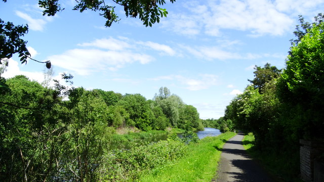 Lagan Valley IslandIsland · 1.8 mi
 Hillsborough FortVisitor information · 2.5 mi
Other information
Photo: Albert Bridge · Creative Commons Attribution-ShareAlike 2.0