What is recorded here
On an esker overlooking Loch Nalaradh to W. Unenclosed irregular area (N-S 32m, E-W 12m) defined along W side by a field wall. Within the interior, numerous set stones, aligned N-S, indicate graves oriented E-W. There is an is an iron cross NW quadrant. Burials occurred up to the 1940s (Claffey 1983, 161).
The above description is derived from the published 'Archaeological Inventory of County Galway Vol. II - North Galway'. Compiled by Olive Alcock, Kathy de hÓra and Paul Gosling (Dublin: Stationery Office, 1999).
Date of upload: 05 August 2010
A Neolithic or early Bronze Age burial site, possibly a cist or simple inhumation cemetery, given the alignment and orientation of stones. Its location on an esker suggests a strategic or symbolic placement, though its wider archaeological significance remains unclear due to limited recorded context.
The monument record does not grant public access. Check the route and ask the landowner before entering private land.
- What survives
- Recorded monument
Places near here
 Windmill (in Ruins)Windmill · 811 yd
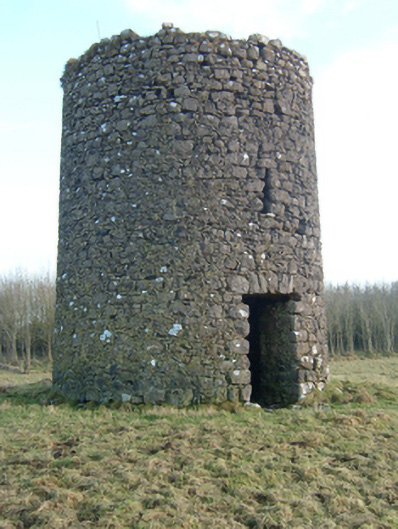 mill (wind)mill (wind) · 817 yd
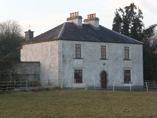 Lakeview Househouse · 1025 yd
 Cloonoran WellHoly well · 1255 yd
 SycamoreSycamore · 1257 yd
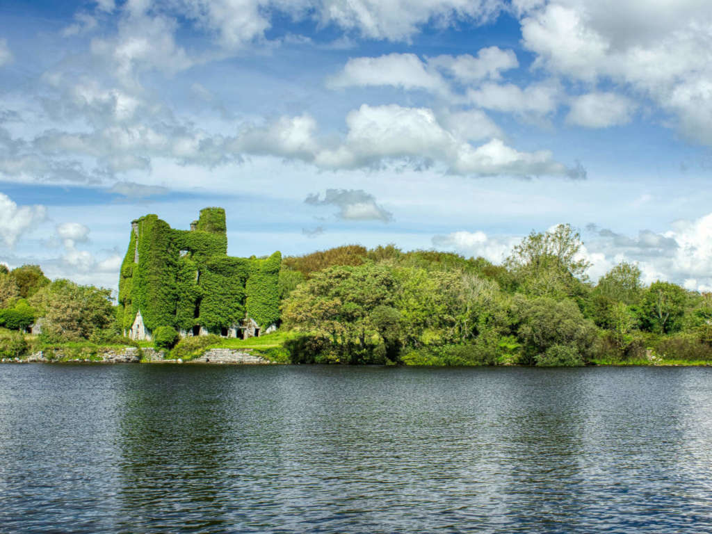 Castle BellewArchaeological place · 1308 yd
 HawthornHawthorn · 1749 yd
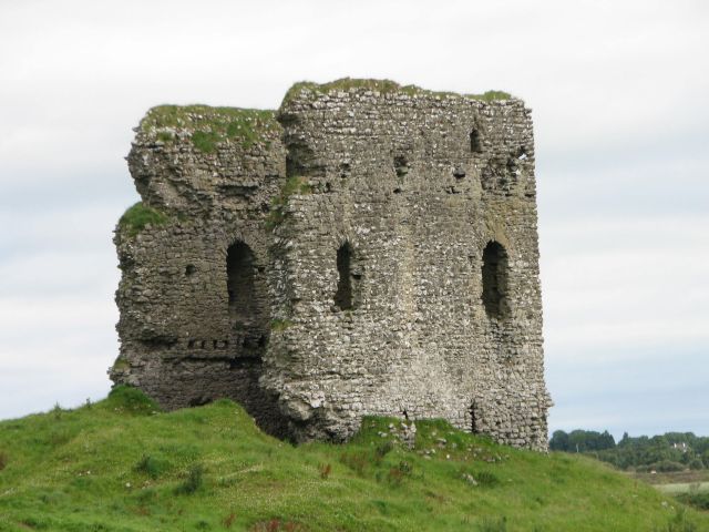 Moylough CastleCastle · 1.3 mi
 Menlough IRAMemorial · 3.5 mi
 Ballinlass Eviction MemorialMemorial · 4.9 mi
 Knockmoy AbbeyHeritage attraction · 7.0 mi
 Mount MaryMountain / peak · 10 mi