What is recorded here
Childrens Burial Ground is a slightly raised, unenclosed grassland area northwest of the Ballinasloe-Aughrim road, where scattered limestone blocks and a surviving scarp hint at graves before quarrying and farm buildings destroyed part of the site. It may have belonged to the same lived landscape as the nearby tower house and ringforts, a place where young deaths were set apart rather than hidden. Even diminished, the ground still holds that old distinction: a small rectangle of loss, partly erased but never fully forgotten.
In grassland, immediately NW of the Ballinasloe-Aughrim road. Marked on 3rd ed. of OS 6-inch map (1946) as a subrectangular unenclosed area (NNW-SSE c. 30m, ENE-WSW c. 20m). It consists of a slightly raised area delimited by a scarp, except from NW to NE where it has been destroyed by quarrying and the construction of farm buildings. Within the interior, some randomly placed limestone blocks, barely visible above ground level, may indicate grave-markers. According to local information, the area was tilled in the 1940s. A tower house (GA087-179----) lies c. 250m to SW and two ringforts (GA087-071----, GA087-071001-) c. 300m to N.
The above description is derived from the published 'Archaeological Inventory of County Galway Vol. II - North Galway'. Compiled by Olive Alcock, Kathy de hÓra and Paul Gosling (Dublin: Stationery Office, 1999).
Date of upload: 05 August 2010
This remains an important historical record, but the official description says the monument is no longer visible or has been destroyed. The monument record does not grant public access. Check the route and ask the landowner before entering private land.
- What survives
- No visible remains or recorded as destroyed
Places near here
 Enclosure in Garbally Demesne,loughbownEnclosure · 541 yd
 West WoodWood · 959 yd
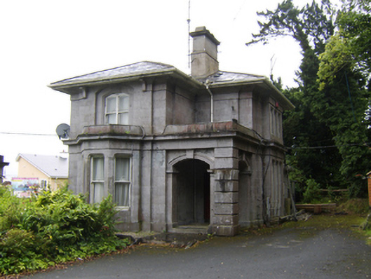 Garballygate lodge · 1326 yd
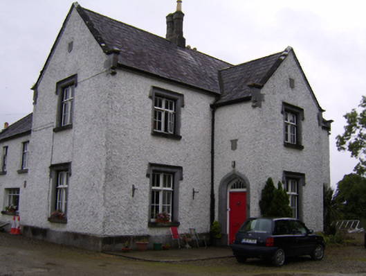 Brackernagh Lodgehouse · 1487 yd
 St. Grellans WellHoly well · 1.1 mi
 Urraghry HillMountain / peak · 1.4 mi
 Bawn in Townparks (moycarn By. - Ballinasloe)Bawn · 2.1 mi
 The bloody HollowHeritage attraction · 2.5 mi
 Castle (Site of)Castle, Anglo-Norman masonry castle · 2.5 mi
 Battle of AughrimMajor battlefield · 2.6 mi
 Battle of Aughrim Interpretative CentreMuseum · 2.7 mi
 Ardcarn IslandsIslet · 2.9 mi