What is recorded here
On a gentle W-facing slope in farmland. Circular burial ground (D 36m), in fair condition, defined by a low-lying bank of earth and stone, except from N to NE. Several stone-lined graves, oriented E-W, lie within the interior.
The above description is derived from the published 'Archaeological Inventory of County Galway Vol. II - North Galway'. Compiled by Olive Alcock, Kathy de hÓra and Paul Gosling (Dublin: Stationery Office, 1999).
Date of upload: 05 August 2010
Circular Neolithic burial ground, likely a ring cairn or early Bronze Age inhumation cemetery. Its significance lies in the presence of stone-lined graves and orientation, suggesting ritual or communal burial practices of early farming communities.
The monument record does not grant public access. Check the route and ask the landowner before entering private land.
- What survives
- Recorded monument
Places near here
 shrine/oratory/grottoshrine/oratory/grotto · 391 yd
 Kiltroge Castle (in ruins)Castle, tower house · 835 yd
 Caisleán Chill TorrógArchaeological place · 840 yd
 Cregmore Bridgebridge · 889 yd
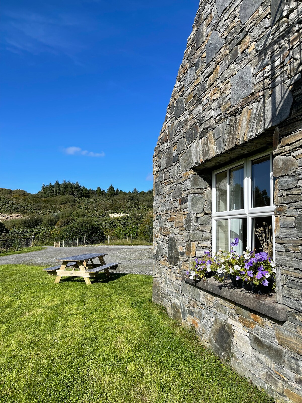 Man-made underground passage in Cinn UisceMan-made underground passage · 1335 yd
 European BeechEuropean Beech · 1.4 mi
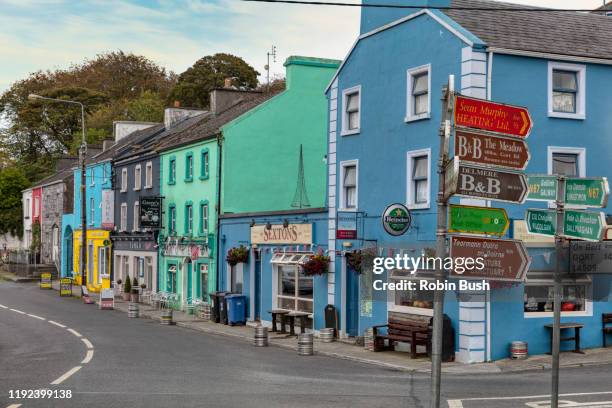 Cashlaunnagrantha in ruinsCastle, tower house · 1.8 mi
 Cregg Castle DemesneForest · 3.9 mi
 Ballinduff BayBay · 8.0 mi
 Oileán an BhreathnaighIslet · 8.4 mi
 Kilcoona Round TowerHeritage attraction · 8.7 mi
 IllaunnashinnaghIslet · 8.8 mi